What is recorded here
Shown on 1842, 1903 and 1940 OS 6-inch maps as small rectangular field (c. 30m N-S; c. 25m E-W) c. 60m NW of C of I church (CO097-001---). Local tradition of burial ground; levelled during field fence clearance in early 1980s.
From the National Monuments Service (Archaeological Survey of Ireland) record CO085-116
The monument record does not grant public access. Check the route and ask the landowner before entering private land.
- What survives
- Recorded monument
Places near here
 Grave YardGraveyard · 382 yd
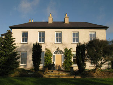 Belrose HouseCountry house · 1049 yd
 Sunday WellSpring · 1.0 mi
 BeechmountCountry house · 1.1 mi
 Eastern LodgeGate lodge · 1.2 mi
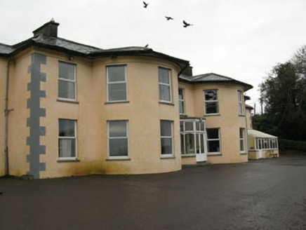 Upton HouseCountry house · 1.2 mi
 SunnysideHouse · 1.2 mi
 Lissagroom HouseHouse · 1.4 mi
 Garranewaterig SchoolSchool · 1.4 mi
 monument1.6 mi
 Kilpadder Burial Ground (Site of)Burial ground · 4.3 mi
 Pedunculate Oak5.7 mi
Pictures: Hywel Williams, Geograph · CC BY-SA 2.0; National Inventory of Architectural Heritage; Neville Goodman, Wikimedia Commons · CC BY-SA 2.0; Neville Goodman, Geograph · Creative Commons Attribution-ShareAlike 2.0; Algirdas at Lithuanian Wikipedia, Wikimedia Commons · Public domain
More archaeology and monuments in County Cork · All of County Cork
What do you know about this place?