What is recorded here
The well is marked but not named on the 1st ed. (1838) of the OS 6-inch map, but by 1886 it was known as 'St Brigid's Well' (Comerford, 1886). On a very gentle W-slope in tillage and marked by the stump of an elm tree. In 1985 a small, square, unploughed area (dims. 2m; 2m) contained the well which occupied a small square, water-filled area (dims. 1m; 1m) defined by stone walling below ground level (SMR file). By 1995 it had been covered with wire mesh and light timbers (Holton 1995, 22-3).
The well is marked but not named on the 1st ed. (1838) of the OS 6-inch map, but by 1886 it was known as 'St Brigid's Well' (Comerford, 1886). On a very gentle W-slope in tillage and marked by the stump of an elm tree. In 1985 a small, square, unploughed area (dims. 2m; 2m) contained the well which occupied a small square, water-filled area (dims. 1m; 1m) defined by stone walling below ground level (SMR file). By…
From the National Monuments Service (Archaeological Survey of Ireland) record KD004-024
The monument record does not grant public access. Check the route and ask the landowner before entering private land.
- What survives
- Recorded monument
Places near here
Photo credits
- National Inventory of Architectural Heritage
- Paul Mc Carthy, Geograph · Creative Commons Attribution-ShareAlike 2.0
- Willow, Wikimedia Commons · CC BY 2.5
- Mike Searle, Geograph · CC BY-SA 2.0
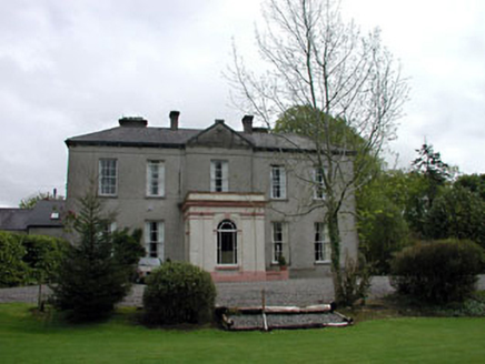 Cappagh HouseHouse · 471 ydEnclosure in Ballynakill (cloncurry Ed)Enclosure · 932 ydOld Bog Road made famous by Teresa Bryton 1868-1943Memorial · 947 yd
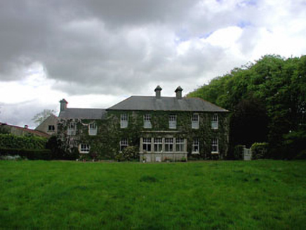 Ballyvoneen HouseHouse · 1380 ydCloncurry GraveyardHeritage attraction · 1625 yd
 Grave YardGraveyard · 1633 yd
 European ash1704 ydCloncurry MoatCastle, motte · 1707 ydEuropean ash1.4 miKilgar GardensHeritage attraction · 2.9 mi
 Bawn in Newcastle (moyfenrath Lower By.)Bawn · 3.8 miMass was there in Penal TimesMemorial · 4.4 mi
More archaeology and monuments in County Kildare · All of County Kildare
What do you know about this place?