
What is recorded here
Cropmark of circular-shaped enclosure (approx. diam. 20m) visible on Google earth aerial imagery. Upstanding remains of circular shaped earthwork visible on Digital Globe aerial photograph.
Compiled by: Caimin O'Brien based on details kindly provided by Edward O'Riordan.
See attached image taken from Google Earth aerial photographs taken 28/06/2018.
Date of upload: 6 November 2018
The monument record does not grant public access. Check the route and ask the landowner before entering private land.
- What survives
- Recorded monument
Places near here
 Enclosure in Cloncurry (ikeathy & Oughterany By., Cloncurry Ed)Enclosure · 252 yd
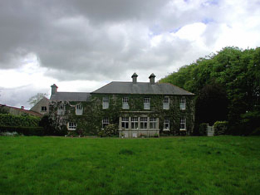 Ballyvoneen Househouse · 452 yd
 Cross in Cloncurry (ikeathy & Oughterany By., Cloncurry Ed)Cross · 473 yd
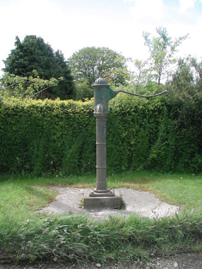 water pumpwater pump · 696 yd
 Cloncurry GraveyardHeritage attraction · 1024 yd
 European ashEuropean ash · 1120 yd
 Cloncurry MoatCastle, motte · 1123 yd
 Old Bog Road made famous by Teresa Bryton 1868-1943Memorial · 1.0 mi
 Site of Dunfierth CastleCastle, unclassified · 2.5 mi
 Kilgar GardensHeritage attraction · 3.4 mi
 Wych ElmWych Elm · 4.5 mi
 Mass was there in Penal TimesMemorial · 4.6 mi
Other information
Photo: Credit not shown in the picture search · Rights wording not checked; contact us if this picture should be removed