On a hill to the SE of the Ballyhaunis town. The Dalgan River skirts the base of the hill at N and W and a tributary stream borders the E side of the hill. It is in the townland of Friarsground, adjoined at S by the townland of Abbeyquarter, which may reflect the extent of the friary’s original precinct and possessions
According to the local tradition, the friary was established in 1348 by a descendant of Jordan Dubh MacCostello, who was killed in battle in 1367 and buried in the church. However, the first medieval reference to the friary is a 1432 entry in the Register of the Order’s Prior General, which mentions a friar Philip Nangle (Martin and de Meijer 1956, 87); F. X. Martin (1956, 364), historian of the order, therefore suggests a foundation date of c. 1430. According to a tradition first recorded in the late 1600’s, the friary was founded on the site of a manor house (
MA093-063003-) of the Anglo-Norman de Barry family (Flanagan 1927, 162 (394)), and Knox (1911, 334-336) speculated that earthworks (
MA093-063001-) surrounding the friary church might date from that period; no evidence has been found to corroborate this. In 1570 the friary was granted to the Earl of Clanricarde (Gwynn and Hadcock 1970, 296) but the friars remained in place, and in 1585 the authorities were informed that it was ‘possessed by friars or rebels’ (Brewer and Bullen 1870, 474). In 1649 it was burned down by Cromwellian soldiers (Waldron 1995, 3). In the late 1730’s Bernard O’Gara, Archbishop of Tuam established a Penal chapel in the ruined church, concealed behind the steep roofless gable-end. The friary remains consist of the heavily restored abbey church; the cloister, domestic ranges and ancillary buildings, which probably lay to the N of the church, do not survive. The church was repaired, reroofed and extended in successive phases during the 19th and 20th centuries. However, we have some idea of what it looked like in the late Middle Ages thanks to an 18th century drawing by Thomas Cocking (in Grose 1791, 40), and a series of late19th-/early 20th-century photographs (The Lawrence Photograph Collection, National Library of Ireland, Fig. 2 and Fig. 3). Knox (1911, 335) describes the church as 90 feet long and 30 feet wide (c. 24m E–W; 9m N–S), which roughly corresponds to the dimensions of the main body of the restored church, while elsewhere (1908, 95) he mentions it had ‘a chapel at the W end opening into the [south] wall of the nave’. From Cocking’s drawing and the early photographs, it appears that the chapel to the S of the nave comprised of two structures, built of roughly coursed rubble masonry, each with their own gable, suggesting a similar plan to the Franciscan friary of Ross Errilly in Co. Galway (
GA041-047----). In 1936-39, these two chapels were replaced by a lateral aisle as long and wide as the main body of the church, with its own gabled roof (Waldron 1995, 6). During the work, the foundations of three more side chapels were found to the S of the church (O’Connor 1983). Cocking’s drawing also shows buildings to the N of the church, including what may have been remains of the E range, and a three-storey late 17th- or 18th-century building where the N range would have been; these do not survive. Some medieval architectural features are still visible in the restored church. Cocking’s drawing and the pre-1930s restoration photographs confirm that the W doorway and the two ogee-headed windows in the W gable of the lateral aisle are original. The 15th-century W doorway is pointed, with four recessed orders or moulded arches that continue down into the door jambs, and has a pointed hood-moulding decorated with crockets and a short crocketted pinnacle at the apex. It is flanked by two more crocketted pinnacles. The southern-most stop of the hood-moulding terminates in a low-relief vine-leaf carving. The base of each jamb is decorated with foliage motifs. The tracery below the arch is, however, a reconstruction. The doorway is similar in style to doorways in the Augustinian friaries of Ardnaree (
MA030-074001-) and Dunmore (
GA017-005001-). Of the two windows in the W gable of the lateral aisle, both ogee-headed double-lights with square hood-mouldings, only the south window is in its original location. Low-relief carvings of stylised foliage embellish the ogee, spandrels, mullion and sides. Cocking’s drawing shows that the other window was taken from the gable of the south chapel and inserted here. It has concave spandrels and its hood-moulding terminate into an unusual carving. Another displaced 15th-century window is on display outside the church, leaning against the N wall at the W end of the nave; it is not known from which portion of the original church this was taken. It is a double-light with cinquefoil heads under a pointed arch with decorated tracery, and a pointed hood-moulding. The three windows in the N wall of the church are similar in style, but it is unclear whether they are medieval or modern reconstructions. It is also uncertain if the E window is the original 15th-century window; it is a triple light with flowing tracery, the two lateral lights having pointed cinquefoil heads while the central light has an ogee-headed cinquefoil. Externally it has a simple pointed hood with short square stops. Cocking’s drawing shows the upper part of the E window with decorated tracery similar to that of the current window. The restored church of St Mary’s Augustinian friary is still in use. The Augustinians left Ballyhaunis in 2002 and the property comprising the priory, church, cemetery and fourteen acres of land, is now managed by The Abbey Partnership on behalf of the community
Compiled by: Anne-Julie Lafaye and Jane O'Shaughnessy
Date of upload: 6 July 2022
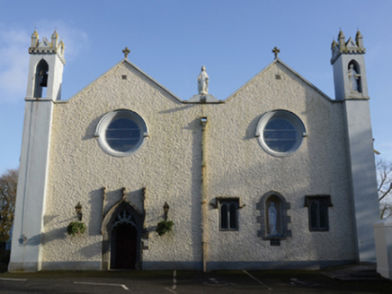 Saint Mary's Catholic ChurchChurch/chapel · 3 yd
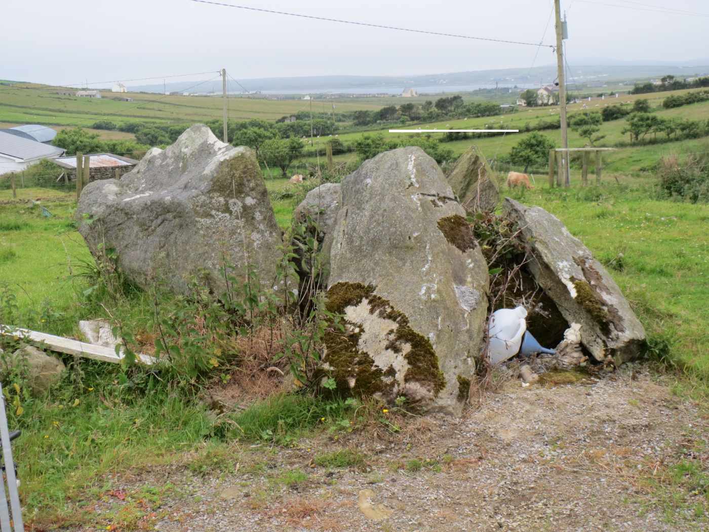 TombTomb, unclassified · 6 yd
 post box126 yd
 bridge139 yd
 Ulster BankBank/financial institution · 149 yd
 Saint Joseph's Convent of MercySchool · 184 yd
 Bank of IrelandBank/financial institution · 199 yd
 Ballyhaunis Railway StationBuilding misc · 270 yd
 Ogham stone in KilmanninOgham stone · 1266 yd
 Ballyhaunis GAA ParkGAA ground · 1.2 mi
 CastleCastle, unclassified · 1.4 mi
 Graveyard in ChurchparkGraveyard · 2.1 mi

What do you know about this place?Tap to add a comment or ask a question