What is recorded here
Gravity itself leans north, dragging breath and memory toward the hidden stream. The church stands ruined at the centre while children’s graves press against its south wall, proving the place never stopped receiving what life could not keep.
In a broad expanse of average pasture, located on a low rise with a fall of ground towards a stream 75m to N. An area of wet boggy ground extends to N of the stream.
A slightly raised, roughly rectangular area (c. 40m E−W; c. 30m N−S) with a ruined stone-built church (MA103-002001-) in the centre. The perimeter cannot be traced on the SW angle and is barely discernible at W. It is clearly defined on the N side by a grass-covered scarp (H 1.5m; Wth slope 5m) which is enhanced by a natural fall of ground, and on the E side by a lower, slumped scarp (H 0.6m; Wth slope 2.5m). The S portion is occupied by a children’s burial ground (MA103-002003-) on a low platform which abuts the S wall of the church.
This enclosure appears to be the remains of a graveyard associated with the church. It is not indicated on the 1838 and 1916 OS 6-inch maps, and no gravemarkers are evident within the area to W, N or E of the church, suggesting that it went out of use at an early stage, long before the southern portion was reused as a children’s burial ground. A field wall on a roughly NW−SE axis crosses the graveyard merging with the S wall of the church.
Compiled by: Jane O’Shaughnessy
Date of upload: 4 October 2022
A medieval graveyard; likely associated with a now-destroyed ecclesiastical site. Its location on a low rise near a stream suggests a long-standing tradition of sacred or ceremonial use of the landscape.
The monument record does not grant public access. Check the route and ask the landowner before entering private land.
- What survives
- Recorded monument
Places near here
 Church in RuinsChurch · 4 yd
 Font in ChurchparkFont · 68 yd
 Cross in Holywell LowerCross · 365 yd
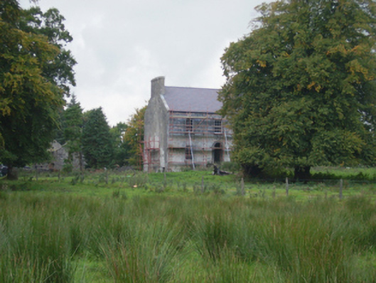 Holywell Housefarm house · 729 yd
 CastleCastle, unclassified · 3.2 mi
 Knock MuseumMuseum · 5.3 mi
 Knock ShrineHeritage attraction · 5.4 mi
 Ballybooley CastleCastle · 5.9 mi
 Oak WoodForest · 8.0 mi
 Geoffrey's WoodForest · 8.9 mi
 Mass RockNamed rock · 16 mi
 St. Patricks StoneRitual site, holy/saint's stone · 699 yd