
What is recorded here
Within a graveyard (MA103-002002-).
Ruined, rectangular stone-built church (16.75m E−W; c. 8.3m N−S) with walls reduced to sod-covered wall footings, except for a portion (L 5.5m; Wth 0.9m) of the S wall which stands to a height of 3.2m. The surviving length of wall is constructed of random rubble. The basal courses incorporate very large boulders resting on a shallow plinth (H 0.3m) of horizontally laid stones, which projects c. 0.3m from the base of the wall. There is a break, partly filled with loose rubble, towards the W end of the S wall, and a similar break roughly mid-way along the N wall. A children’s burial ground (MA103-002003-), consisting of a low rectangular platform, abuts the S wall of the church.
The S wall of the church is incorporated into the line of a later field wall, evident now as a single line of contiguous stones and boulders; this extends across the field to NW from the SW corner of the church, and also for a short distance to SSE from the SE angle of the church, where it borders the E side of the children’s burial ground. Another church (MA103-002001-) and a holy well (MA103-002002-) are located 300m to SE.
Compiled by: Jane O’Shaughnessy
Date of upload: 4 October 2022
The monument record does not grant public access. Check the route and ask the landowner before entering private land.
- What survives
- Recorded monument
Places near here
 Font in ChurchparkFont · 66 yd
 Cross in Holywell LowerCross · 367 yd
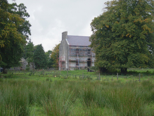 Holywell Housefarm house · 733 yd
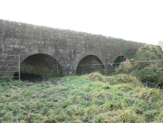 Agloragh Bridgebridge · 1.4 mi
 CastleCastle, unclassified · 3.2 mi
 Knock MuseumMuseum · 5.3 mi
 Knock ShrineHeritage attraction · 5.4 mi
 Ballybooley CastleCastle · 5.9 mi
 Oak WoodForest · 8.0 mi
 Geoffrey's WoodForest · 8.9 mi
 Mass RockNamed rock · 16 mi
 St. Patricks StoneRitual site, holy/saint's stone · 695 yd
Other information
Photo: Credit not shown in the picture search · Rights wording not checked; contact us if this picture should be removed