
What is recorded here
Knox (1911, 325-7) identified the castle with earthworks straddling Tulrohaun and Carrowneden, suggesting a sixteenth-century origin. The flat-topped mound measures only 5.6 by 5 metres, barely large enough for a chamber pot, let alone a lord’s hall. Yet it holds the boundary wall like a thumb in clay, resisting erasure while the stone castle vanished. O’Donovan heard of it in 1838 but never saw it; the land kept the shape, not the name.
In pasture, located on a prominent rise bordered at NE by a stream gully, straddling the townland boundary. There are broad views NW and SE. There is a church (MA102-044001-) and graveyard (MA102-044002-) c. 300m to N.
In the 1838 OS Letters, John O’Donovan records that ‘There was a castle, I was informed, in Tulranhan (Tul ‘srufhan) townland, of which there are, at present, no remains.’ He did not, however, identify the location, and the castle is not indicated on the OS 6-inch maps (O’Flanagan 1927, 391 (161)). Knox (1911, 325-7) identified its location with a series of earthworks (MA044002-) straddling the boundary between the townlands of Tulrohaun and Carrowneden. He suggested that it was a MacCostellos castle dating to the sixteenth century. He described and drew a plan of a mound (c. 9m x 9m at base; H c. 2.5m), on which he considered a stone castle once stood, surrounded by a number of low, subrectangular earthen platforms or baileys (MA044002-).
No upstanding remains of the castle building survive. Amidst a series of low, grass-covered subrectangular earthworks, a roughly square mound (9m NNE–SSW; 9m WNW–ESE; max H 1.6m at NNE), incorporated into the townland boundary wall on the S and W sides, may correspond to the feature identified by Knox as the castle mound. Its flat top (5.6m NNE–SSW; 5m WNW–ESE), however provides a relatively small space to have accommodated a castle.
Compiled by: Jane O’Shaughnessy
Date of upload: 27 September 2022
The monument record does not grant public access. Check the route and ask the landowner before entering private land.
- What survives
- Recorded monument
Places near here
 St Bridgets WellsHoly well · 308 yd
 IndicatedFairy fort / earthen ringfort · 1.2 mi
 Saint Mary's Catholic Churchchurch/chapel · 1.6 mi
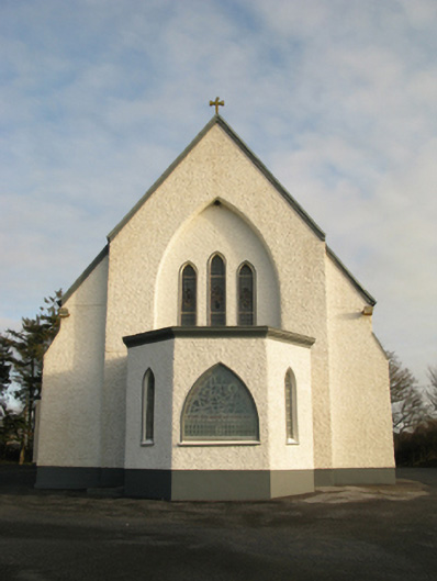 Catholic Church of Saint Theresa of the Little Flowerchurch/chapel · 2.2 mi
 Slieve DartMountain / peak · 5.5 mi
 Castlekeel (in ruins)Castle, unclassified · 5.9 mi
 Oak WoodForest · 6.1 mi
 Castlemacgarrett HouseCastle · 6.2 mi
 Geoffrey's WoodForest · 7.0 mi
 Land of the GiantsHeritage attraction · 7.1 mi
 Mass RockNamed rock · 13 mi
 LisgortnalassFairy fort / earthen ringfort · 1.6 mi
Other information
Photo: Credit not shown in the picture search · Rights wording not checked; contact us if this picture should be removed