
What is recorded here
In pasture, located at the base of a S-facing slope. There is a modern house c. 20m to SW.
Indicated on the 1838 OS 6-inch map as ‘St Bridgets Wells’ and on the 1916 edition as ‘St Bridget’s Wells (Site of)’. A circular pool (diam. 0.7m) is enclosed within a modern concrete surround. According to local information, this holy well was the focus of a pattern dedicated to St. Bridget, but it is no longer in use as a holy well. Kildara church (MA102-042001-) and graveyard (MA102-042002-) are located 100m to NE.
Compiled by: Jane O’Shaughnessy
Date of upload: 27 September 2022
Linked to St Brigid of Kildare, a major figure in early Irish Christianity, the wells are traditionally associated with healing and fertility. The site reflects the widespread veneration of St Brigid in rural Ireland, often connected to water sources believed to possess curative properties.
The monument record does not grant public access. Check the route and ask the landowner before entering private land.
- What survives
- Recorded monument
Places near here
 CastleCastle, unclassified · 308 yd
 IndicatedFairy fort / earthen ringfort · 1.1 mi
 LisgortnalassFairy fort / earthen ringfort · 1.5 mi
 Saint Mary's Catholic Churchchurch/chapel · 1.6 mi
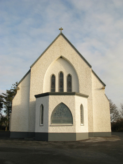 Catholic Church of Saint Theresa of the Little Flowerchurch/chapel · 2.1 mi
 Castlekeel (in ruins)Castle, unclassified · 5.9 mi
 Oak WoodForest · 6.1 mi
 Geoffrey's WoodForest · 7.0 mi
 Land of the GiantsHeritage attraction · 7.1 mi
 Mass RockNamed rock · 13 mi
 Knockanroe FortEnclosure · 1.8 mi
 Enclosure in Cottage (costello By.)Enclosure · 2.1 mi
Other information
Photo: Credit not shown in the picture search · Rights wording not checked; contact us if this picture should be removed