
What is recorded here
On a low rise in lowlying, flat wet pasture. A stream c. 100m to E coincides with the townland boundary. There is a low NNW−SSE ridge c. 300m to NE. The field is bordered at W by a N−S road.
A circular embanked enclosure (diam. c. 20-25m), named ‘Knockanroe Fort’, is shown on the 1838 OS 6-inch map; it is not shown on later map editions where the location is marked ‘‘Knockanroe Fort (Site of)’.
A low grass-covered mound (overall diam. 36.5m E−W; 48.5m N−S; H 2m at N, 1.7m at W) crossed at S edge by an E−W property fence. The top (c. 15m E−W; c. 25-30m N−S) is fairly level merging seamlessly with broadly sloping sides, producing the effect of a gently humped profile. The slope is more gradual in the S third. It is not clear to what extend this mound equates with the original extent of the enclosure or represents a natural rise on which the enclosure was built.
Compiled by: Jane O’Shaughnessy
Date of upload: 4 November 2022
A local fairy fort (ringfort/rath); wider significance not recorded.
The monument record does not grant public access. Check the route and ask the landowner before entering private land.
- What survives
- Recorded monument
Places near here
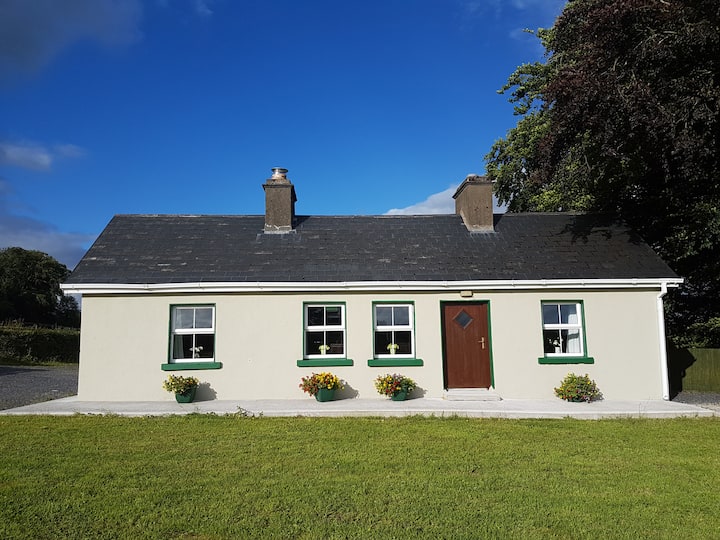 Enclosure in Cottage (costello By.)Enclosure · 563 yd
 LisgortnalassFairy fort / earthen ringfort · 696 yd
 Saint Mary's Catholic Churchchurch/chapel · 1055 yd
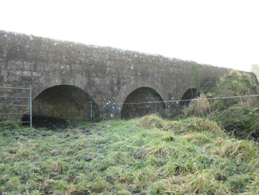 Agloragh Bridgebridge · 1.4 mi
 CastleCastle, unclassified · 1.8 mi
 Slieve DartMountain / peak · 4.8 mi
 Dunmore CastleCastle · 6.6 mi
 Oak WoodForest · 7.8 mi
 Land of the GiantsHeritage attraction · 8.6 mi
 Geoffrey's WoodForest · 8.7 mi
 Mass RockNamed rock · 14 mi
 IndicatedEnclosure · 1249 yd
Other information
Photo: Credit not shown in the picture search · Rights wording not checked; contact us if this picture should be removed