
What is recorded here
Located on a low rise in average pasture. Good views.
Shown on the 1838 OS 6-inch map as a roughly circular embanked enclosure (diam. c. 25m); by the time of the 1916 edition it has been greatly modified by incorporation at W, NW and NE into a system of later field fences.
Irregular-shaped, slightly raised area (c. 41m E−W; c. 45m N−S) defined at S−W by remnants of a curving scarp (H 1.4m). It is defined at NW and NE by straight sides formed by stone field fences, now low and ruined. The E−SE side of the enclosure is greatly disturbed and partly quarried out. At E there is a very short length of bank (Wth c. 3m; int. H 0.45m; ext. H 0.9m) with possible fosse (Wth 1.7m) and external bank (Wth 1.5-2m; H 0.2-0.4m), but it is unclear to what extent these are remnants of primary features or later field fences. In the interior a spine of level ground extends NNW−SSE through the centre with a marked slope from there down to E.
An enclosure (MA103-025----) and a possible enclosure (MA103-025001-) are 260m to NNE.
Compiled by: Jane O’Shaughnessy
Date of upload: 4 November 2022
The monument record does not grant public access. Check the route and ask the landowner before entering private land.
- What survives
- Recorded monument
Places near here
 LisgortnalassFairy fort / earthen ringfort · 671 yd
 Knockanroe FortEnclosure · 1202 yd
 Saint Mary's Catholic Churchchurch/chapel · 1393 yd
 CastleCastle, unclassified · 1.2 mi
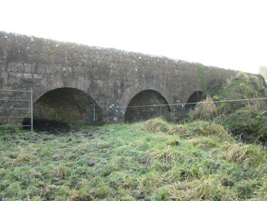 Agloragh Bridgebridge · 1.8 mi
 Slieve DartMountain / peak · 5.2 mi
 Dunmore CastleCastle · 6.7 mi
 Oak WoodForest · 7.1 mi
 Land of the GiantsHeritage attraction · 8.0 mi
 Geoffrey's WoodForest · 8.0 mi
 Mass RockNamed rock · 14 mi
 Enclosure in Cottage (costello By.)Enclosure · 1752 yd
Other information
Photo: Credit not shown in the picture search · Rights wording not checked; contact us if this picture should be removed