
What is recorded here
Deeply embedded in a small roughly oval, flat-topped earth and stone rise (5m NE−SW; 3.7m NW−SE; H 0.35m) on level ground 30m N of a graveyard (MA103-002002-) which encloses a church (MA103-002001-).
A large stone block (max. dim. c. 0.8m) with a central circular depression (diam. 38m; D 0.16m) in its upper surface. A narrow shallow dip or break (0.09m) extends from one edge of the stone to the central hollow. The stone is sunk in the ground, with its top flush with surrounding ground level, and it is not possible to determine its full size.
It is named ‘St. Patrick’s Font’ on the 1916 OS 6-inch map, and according to local tradition, water in the central hollow was used as a cure for warts.
Compiled by: Jane O’Shaughnessy
Date of upload: 4 October 2022
A local church or high cross; wider significance not recorded.
The monument record does not grant public access. Check the route and ask the landowner before entering private land.
- What survives
- Recorded monument
Places near here
 Church in RuinsChurch · 66 yd
 Cross in Holywell LowerCross · 335 yd
 St. Patricks StoneRitual site, holy/saint's stone · 664 yd
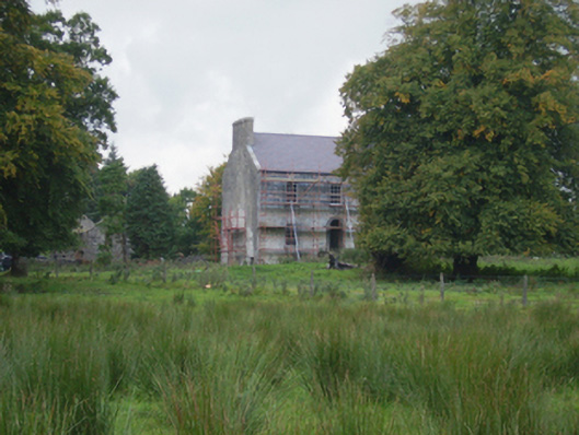 Holywell Housefarm house · 722 yd
 CastleCastle, unclassified · 3.2 mi
 Knock MuseumMuseum · 5.3 mi
 Knock ShrineHeritage attraction · 5.4 mi
 Ballybooley CastleCastle · 5.9 mi
 Oak WoodForest · 8.0 mi
 Geoffrey's WoodForest · 8.9 mi
 Mass RockNamed rock · 16 mi
 Enclosure in CloontumperEnclosure · 1602 yd
Other information
Photo: Credit not shown in the picture search · Rights wording not checked; contact us if this picture should be removed