
What is recorded here
In pasture, built into a field bank bordering a road.
Not indicated on the 1838 OS 6-inch map; named ‘St. Patrick’s Stone’ on the 1916 edition.
A thin, upright stone slab (Wth 0.57m; max. T 0.13m, 0.007m at top; H 1.12m) roughly rectangular in shape and in cross-section, tapering slightly towards the top. According to local tradition, a slight natural indentation or notch in the top of the stone preserves the impression of St. Patrick’s knee. Tradition also records that the stone was being moved by horse and cart from a local church, when it fell through the floor of the cart and it was decided to erect the stone here where it fell.
Compiled by: Jane O’Shaughnessy
Date of upload: 4 October 202
St. Patrick’s Stone at Carrowkeel East is associated with the legendary Christian saint St. Patrick and may have been a site of early Christian veneration or pilgrimage. The naming of the stone in the early 20th century suggests a tradition linking it to the saint, though specific folklore or recorded cures connected to the site are not well documented.
The monument record does not grant public access. Check the route and ask the landowner before entering private land.
- What survives
- Recorded monument
Places near here
 Font in ChurchparkFont · 664 yd
 Church in RuinsChurch · 695 yd
 Cross in Holywell LowerCross · 916 yd
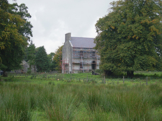 Holywell Housefarm house · 1330 yd
 CastleCastle, unclassified · 3.6 mi
 Knock MuseumMuseum · 5.1 mi
 Knock ShrineHeritage attraction · 5.2 mi
 Ballybooley CastleCastle · 5.8 mi
 Oak WoodForest · 8.2 mi
 Geoffrey's WoodForest · 9.1 mi
 Mass RockNamed rock · 17 mi
 Enclosure in CloontumperEnclosure · 1445 yd
Other information
Photo: Credit not shown in the picture search · Rights wording not checked; contact us if this picture should be removed