What is recorded here
St. Patricks Church vanished before the 1916 survey, leaving only a hidden doorway beside a holy well in County Mayo. Three hundred metres north-west, another church and two graveyards still mark the earth, but the original site refuses to show itself. Perhaps the building dissolved into the water or the people stopped speaking its name. Either way, the absence has become the shape of the place.
Adjacent to a holy well (MA103-003002). There is no visible trace of a church indicated on the 1916 OS 6-inch maps as ‘St. Patrick’s Church (Site of)’. Another church (MA102-002001-), a graveyard (MA103-002002-) and children’s burial ground (MA103-002003-) are located 300m to NW.
Compiled by: Jane O’Shaughnessy
Date of upload: 4 October 2022
This remains an important historical record, but the official description says the monument is no longer visible or has been destroyed. The monument record does not grant public access. Check the route and ask the landowner before entering private land.
- What survives
- No visible remains or recorded as destroyed
Places near here
 Cross in Holywell LowerCross · 33 yd
 Font in ChurchparkFont · 329 yd
 Church in RuinsChurch · 355 yd
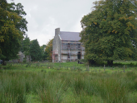 Holywell Housefarm house · 405 yd
 CastleCastle, unclassified · 3.1 mi
 Knock MuseumMuseum · 5.5 mi
 Knock ShrineHeritage attraction · 5.6 mi
 Ballybooley CastleCastle · 6.1 mi
 Oak WoodForest · 8.1 mi
 Geoffrey's WoodForest · 8.9 mi
 Mass RockNamed rock · 16 mi
 St. Patricks StoneRitual site, holy/saint's stone · 928 yd