What is recorded here
In low-lying pastureland, close to the td. boundary and the Black River. This Franciscan friary, now a Nat. Mon., has a disputed foundation date (O'Flanagan 1927, Vol. 1, 78; Gywnn and Hadcock 1970, 258; Leask 1960b, 109). The present well-preserved remains, comprising a church and conventual buildings, are mainly late 15th C in date. The church (E-W; L c. 36.5m, Wth c. 6.2m) consists of a nave and chancel with a four-light pointed arch traceried window in the E gable. At the junction of the nave and chancel is an inserted five-storey crenellated tower with a possible rood loft above its low chancel arch. The nave has a S aisle, off which there is a double S transept containing two chapels. Separate chapels were later added to the E side-wall of the transept and at the W end of the aisle. From beneath the tower, a pointed arch doorway opens to the N into the cloister, around which are ranged a sacristy and conventual buildings in two storeys. A second courtyard lies to the N, with the bake house to the N, the refectory to the E, and the buttery to the W. Adjoining the latter to the N is the kitchen containing a stone-built water/fish tank, and beyond that again, the watermill. There are dormitories on the 1st floor over the kitchens, buttery and refectory, along with a latrine. A three-storey building (L 6.2m, Wth 4.5m), known locally as 'Burke's Castle', abuts the NE corner of the chancel. This may also have been a sacristy with a guest-house overhead. A gatehouse (GA041-047001-), road (GA041-047003-) and field system (GA041-047004-) are associated. (Fahey 1901b, 334-40; Mooney 1955 and 1956, passim; Harbison 1975, 99-100; see also http://monastic.ie/tour/ross-errilly-franciscan-friary/ for a detailed plan of the complex, last accessed 19 July 2018)
The above description is derived from the published 'Archaeological Inventory of County Galway Vol. II - North Galway'. Compiled by Olive Alcock, Kathy de hÓra and Paul Gosling (Dublin: Stationery Office, 1999). In certain instances the entries have been revised and updated in the light of recent research.
Updated by: Olive Alcock
Date of revised upload: 19 July 2018
This monument was taken into State Care under the National Monuments Acts 1930 to 2014 - National Monument No. 50.
Ross Abbey, a Franciscan friary founded in the 13th century, was built in low-lying pastureland near the Black River; its ruins, now a National Monument, reflect medieval monastic architecture and highlight the religious history of the region.
The monument record does not grant public access. Check the route and ask the landowner before entering private land.
- What survives
- Recorded monument
Places near here
 Ross Errilly FriaryHeritage attraction · 4 yd
 Font in Ross (clare By.)Font · 6 yd
 IndicatedCauseway · 179 yd
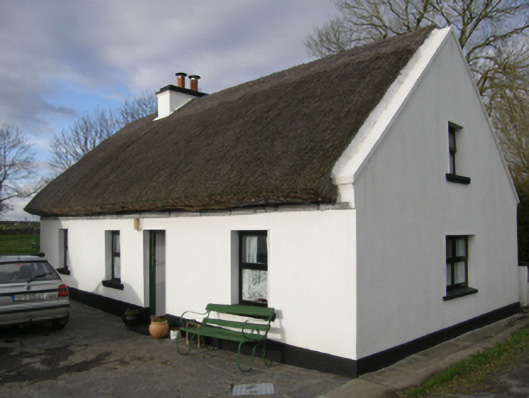 Aurora Cottagehouse · 889 yd
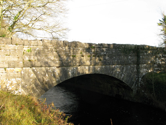 Moyne Bridgebridge · 1108 yd
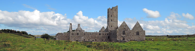 Tower; Proposed site of Ross AbbeyCastle, unclassified · 1287 yd
 Moyne CastleCastle · 1350 yd
 BallynacreggaWood · 2.8 mi
 Otter IslandIslet · 3.9 mi
 Camillaun IslandIslet · 4.2 mi
 Cregg PlantationForest · 4.3 mi
 Kilcoona Round TowerHeritage attraction · 4.8 mi