What is recorded here
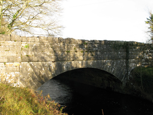
Single-arch road bridge over river, extant 1857. Part creeper- or ivy-covered tuck pointed coursed or snecked rock faced limestone walls between coursed or snecked rock faced limestone piers with rock faced cut-limestone stringcourses supporting parapets having rock faced cut-limestone coping. Single segmental arch with drag edged rock faced limestone ashlar radiating voussoirs. Sited spanning Black River with unkempt banks to river.
A bridge most likely erected under the supervision of Samuel Ussher Roberts CE (1821-1900), District Engineer (appointed 1858; transferred 1855), representing an integral component of the mid nineteenth-century civil engineering heritage of south County Mayo with the architectural value of the composition, one succeeding an eighteenth-century bridge illustrated by Taylor and Skinner (1778 pl. 217), confirmed not only by the rock faced surface finish demonstrating good quality workmanship, but also by the elegant "sweep" of the arch making a pleasing visual statement at a crossing over the Black River: meanwhile, a discreet benchmark remains of additional interest for the connections with cartography and the preparation of maps by the Ordnance Survey (established 1824).
This does not grant access. Most recorded buildings are privately owned; view them only from public ground unless the owner allows entry.
Places near here
 Moyne CastleCastle · 249 yd
 Moyne Castle in ruinsCastle, unclassified · 250 yd
 Ross Errilly FriaryHeritage attraction · 1105 yd
 Font in Ross (clare By.)Font · 1115 yd
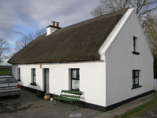 Aurora Cottagehouse · 1224 yd
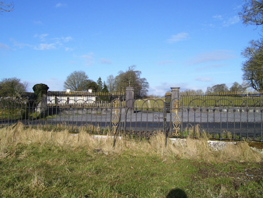 Moyne Hilldemesne walls/gates/railings · 1228 yd
 Cross in Toorard (kilmaine By.)Cross · 1258 yd
 BallynacreggaWood · 3.5 mi
 Cregg PlantationForest · 3.7 mi
 Otter IslandIslet · 4.3 mi
 Camillaun IslandIslet · 4.6 mi
 Kilcoona Round TowerHeritage attraction · 4.7 mi
Other information
Photo: National Inventory of Architectural Heritage · Website use allowed for educational or private purposes with source credit