What is recorded here
Associated with Ballyhaunis Augustinian friary (MA093-063002-).
In the early 1900’s Knox (1911, 334-336) recorded a series interlocking rectangular enclosures immediately to N, E and S of the friary church, which he thought might preserve the outline of earthworks or ‘baileys’ associated with an Anglo-Norman manor house (MA093-063003-) on whose foundations the abbey was traditionally said to have been built. The rectangular plots were defined by slight ditches, banks and scarps, in parts barely discernible. He gives dimensions of c. 43m N−S by 41m E−W for the plot immediately to S of the church. This plot and adjoining rectangular plots immediately to S and E were already in use as a graveyard (MA093-063004-) at that time, and still serve as such. Modern development has obliterated the outline of the rectangular plots Knox recorded to E and N of the church.
Compiled by: Jane O’Shaughnessy
Date of upload: 6 July 2022
The monument record does not grant public access. Check the route and ask the landowner before entering private land.
- What survives
- Recorded monument
Places near here
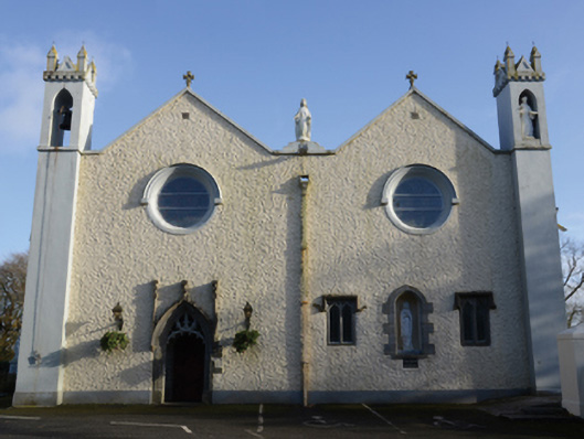 Saint Mary's Catholic Churchchurch/chapel · 45 yd
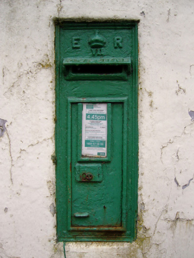 post boxpost box · 80 yd
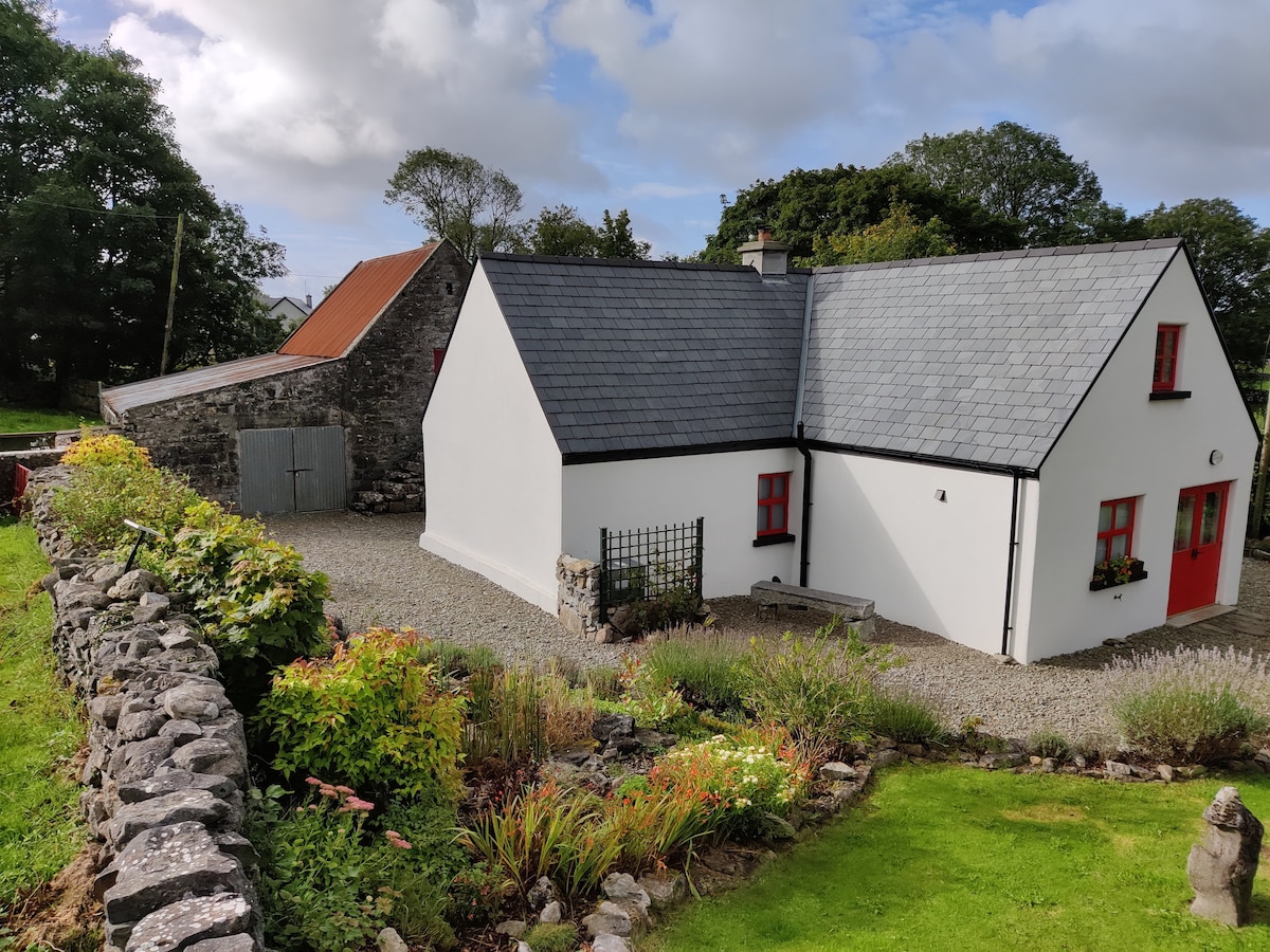 Enclosure in DevlisEnclosure · 828 yd
 Enclosure in KilmanninEnclosure · 1102 yd
 CastleCastle, unclassified · 2.4 mi
 Rath Castle in ruinsCastle, tower house · 5.9 mi
 Oak WoodForest · 10 mi
 Land of the GiantsHeritage attraction · 10 mi
 Geoffrey's WoodForest · 11 mi
 Site of Killomaine Grave YardArchaeological place · 15 mi
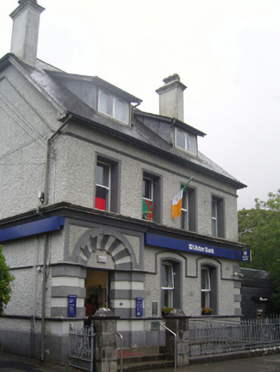 Ulster Bankbank/financial institution · 143 yd
 bridgebridge · 170 yd