What is recorded here
Occupies elevated ground, immediately S of Ballyhaunis friary church (MA093-063002-).
L-shaped area (c. 70m N−S; c. 81m E−W at N; c. 45m E-W at S) bordered at E and S by field fences and a line of trees, and at W by a steep scarp which drops to the entrance avenue to the abbey. The N portion of the graveyard encompasses relatively level ground but the S third slopes steeply down to S. The graveyard is grass-covered, with a network of gravel paths winding through it.
There is high density of graves. The majority are marked by inscribed headstones in a variety of styles, including ‘Celtic crosses’, dating to the period 18th to 20th century. Some grave plots are bordered by a low concrete surround, and a few have metal railings. There are a several ledgers in the E part of the graveyard. Interspersed amidst the formal headstones are a few small uninscribed stone gravemarkers, roughly-shaped to the form of a cross, and occasional simple metal crosses.
Knox (1911, 334-336) postulated that the graveyard overlies or incorporates earthworks (MA093-063001-) that might pre-date the friary.
Attached images:
MA093-063004-_01.JPG Graveyard viewed form SE
MA093-063004-_02.JPG Simple stone cross gravemarker
MA093-063004-_03.JPG Steep S slope of graveyard
MA093-063004-_04.JPG Ledgers in the E part of the graveyard
Compiled by: Jane O’Shaughnessy
Date of upload: 7 December 2022
A local ancient tomb; wider significance not recorded.
The monument record does not grant public access. Check the route and ask the landowner before entering private land.
- What survives
- Recorded monument
Places near here
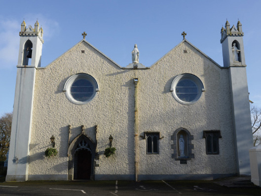 Saint Mary's Catholic Churchchurch/chapel · 43 yd
 post boxpost box · 82 yd
 Enclosure in DevlisEnclosure · 831 yd
 Enclosure in KilmanninEnclosure · 1100 yd
 CastleCastle, unclassified · 2.4 mi
 Rath Castle in ruinsCastle, tower house · 5.9 mi
 Oak WoodForest · 10 mi
 Land of the GiantsHeritage attraction · 10 mi
 Geoffrey's WoodForest · 11 mi
 Site of Killomaine Grave YardArchaeological place · 15 mi
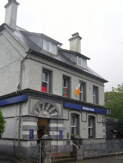 Ulster Bankbank/financial institution · 141 yd
 bridgebridge · 173 yd