
What is recorded here
Situated in a slight hollow on a fairly level landscape, and on what was the demesne of Corbalton Hall, c. 450m to the N. The cropmark of a D-shaped feature (dims c. 100m E-W; c. 50m N-S) defined by a negative feature indicating an earthen bank W-N-E is visible on an aerial photograph (CUCAP: BGP091) from 1971. The perimeter is truncated by an E-W field bank at S, and this enclosure is represented as a D-shaped wood on the 1836 edition of the OS 6-inch map, which is all that it was.
The above description is derived from the published 'Archaeological Inventory of County Meath' (Dublin: Stationery Office, 1987). In certain instances the entries have been revised and updated in the light of recent research.
Compiled by: Michael Moore
Date of upload: 10 July 2007
Amended: 13 April 2022
The monument record does not grant public access. Check the route and ask the landowner before entering private land.
- What survives
- Recorded monument
Places near here
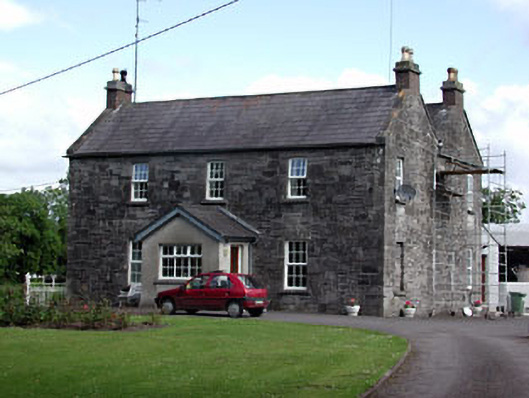 Oberstown Housefarm house · 1.2 mi
 CrossCross, Wayside cross (present location) · 1.3 mi
 Font in Collierstown (skreen By.)Font · 1.3 mi
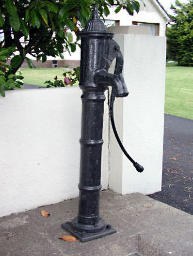 water pumpwater pump · 1.4 mi
 Candle HillMountain / peak · 1.8 mi
 CastleCastle, motte · 1.8 mi
 Macetown CastleCastle, tower house · 1.8 mi
 The Pond WoodWood · 2.4 mi
 Clusker Wood NorthWood · 2.5 mi
 Emerald ParkHeritage attraction · 3.2 mi
 Tara Open StudioGallery · 3.4 mi
 Battle of Tara Hillbattle · 3.4 mi
Other information
Photo: Credit not shown in the picture search · Rights wording not checked; contact us if this picture should be removed