What is recorded here
An approximately oval area surrounded by a large bank, a fosse and an outer 'bank' in places with an entrance at NNW. It has the appearance of a ringfort, but the fresh cut U-bottomed fosse and shape tending to form angles makes it more likely that site is part of the landscape gardening of Mellifont grounds. (SMR file)
Compiled by: Claire Breen
Date of upload: 12 July 2012
From the National Monuments Service (Archaeological Survey of Ireland) record LH020-010
The monument record does not grant public access. Check the route and ask the landowner before entering private land.
- What survives
- Recorded monument
Places near here
Photo credits
- National Inventory of Architectural Heritage
- Algirdas at Lithuanian Wikipedia, Wikimedia Commons · Public domain
- Kieran Campbell, Geograph · Creative Commons Attribution-ShareAlike 2.0
- Willard Rome, Geograph · CC BY-SA 2.0
- Colin Park, Geograph · CC BY-SA 2.0
- Adriao, Wikimedia Commons · CC BY-SA 4.0
- Mike Searle, Geograph · CC BY-SA 2.0
- Kieran Campbell, Wikimedia Commons · CC BY-SA 2.0
- Vadim Manuylov, Wikimedia Commons · CC BY-SA 3.0
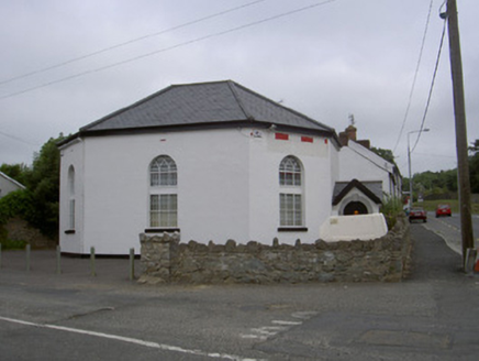 church/chapel1.4 mi
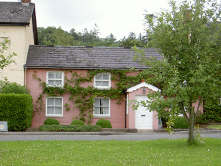 Grinny's CottageHouse · 1.5 mi
 Pedunculate Oak2.4 mi
 Trinity WellHoly well · 2.4 mi
 Round Tower2.6 mi
 Monasterboice Round TowerHeritage attraction · 2.6 mi
 Muiredach's High CrossHeritage attraction · 2.7 mi
 Athclare CastleCastle, tower house · 3.2 mi
 CastleCastle, motte · 3.4 mi
 Monterey Cypress3.8 mi
 Graveyard in Richardstown (ardee By., Richardstown Par.)Graveyard · 3.9 mi
 Graveyard in StickillinGraveyard · 4.1 mi
More archaeology and monuments in County Louth · All of County Louth
What do you know about this place?