Places near here
Photo credits
- National Inventory of Architectural Heritage
- Superchilum, Wikimedia Commons · CC BY-SA 4.0
- Brian Shaw, Wikimedia Commons · CC BY-SA 2.0
- David P Howard, Geograph · CC BY-SA 2.0
- AnRo0002, Wikimedia Commons · CC0
- Mike Searle, Geograph · CC BY-SA 2.0
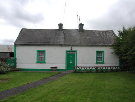 Lisduff CottageHouse · 1.1 mi
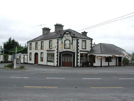 Black BullHouse · 1.4 mi
Explorer Tom Black Bull in Rath Beg is telling teenagers that the 1800s were basically just everyone wearing wigs and complaining about the weather. It was a pub and police station, which sounds like a recipe for chaos. Go at sunset to catch the last light hitting its cheeky old windows.
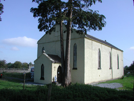 Saint Colman's Church (Kilcolman)Church/chapel · 1.4 mi
Explorer Tom Saint Colman's Church (Kilcolman) is locked in a feud with the hill next door over who has the better view. It's got cast-iron lattice windows that scream 'fancy' but really just look cold. It's finally time to stop pretending it's modern.
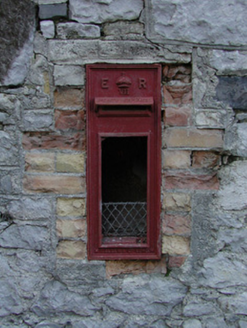 post box1.7 mi
Explorer Tom This Post box in Ballyegan is run by a dog named Edward who takes his job seriously. It’s not even used anymore, but the royal cipher keeps its dignity. Ideal spot for a dramatic sigh at history.
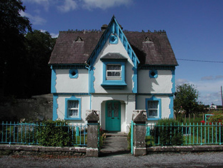 BallyeighanGate lodge · 1.8 mi
Explorer Tom Ballyeighan gate lodge looks like a Hansel-and-Gretel affair that got lost on the way to being classy. It’s Tudor Revival with rustic dressings that just scream “try hard” from across the road. I bet there’s a biscuit tin buried in the garden that’s actually treasure. Count t
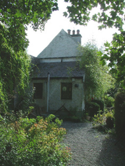 Birr CastleWorker's house · 3.9 mi
Explorer Tom The worker’s house in Townparks was built for cowherds who probably didn’t care about architecture. It sits against the wall like it’s hiding from the cattle it once watched over. Ten minutes here and you’ll smell the imaginary milk, promise.
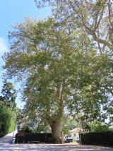 Oriental plane3.9 mi
Explorer Tom Oriental plane in County Offaly is having a rivalry with a more famous castle down the road, complaining nobody notices its fancy bark patterns. It’s very dramatic about its lack of fame. A good place to forget your phone for ten minutes.
 Birr Heritage CentreMuseum · 3.9 mi
 Emmet SquareMonument · 4.0 mi
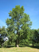 Grey Poplar4.1 mi
Explorer Tom Grey Poplar in County Offaly once survived a meteor shower, or so the story goes, but probably just dodged a falling roof tile. It acts like it saw a ghost. Bring your own legend, I've run out.
 Killaleigh CastleCastle · 8.0 mi
 Drumnamahane CastleCastle · 9.3 mi
Explorer Tom Drumnamahane Castle says a famous poet once fell in the ditch nearby while trying to compose a sonnet about mud. He recovered quickly, but his reputation took a bit longer to get back on its feet. Bring the dog, it'll have opinions.
More castles and forts in County Offaly · All of County Offaly

What do you know about this place?Tap to add a comment or ask a question