What is recorded here
In pasture on N-facing slope. Circular area (c. 32m N-S; c. 35m E-W) defined by slight rise (H 0.4m) surrounded by shallow depression. Interior level, scattered with stones.
From the National Monuments Service (Archaeological Survey of Ireland) record CO053-018
The monument record does not grant public access. Check the route and ask the landowner before entering private land.
- What survives
- Recorded monument
Places near here
Photo credits
- National Inventory of Architectural Heritage
- Hywel Williams, Wikimedia Commons · CC BY-SA 2.0
- Revd. Matthew Morgan, Wikimedia Commons · Public domain
- Mike Searle, Wikimedia Commons · CC BY-SA 2.0
- Jonathan Thacker, Geograph · Creative Commons Attribution-ShareAlike 2.0
- Jonathan Thacker, Geograph · CC BY-SA 2.0
- P L Chadwick, Wikimedia Commons · CC BY-SA 2.0
 Ballyready HouseHouse · 806 yd
 Scartbarry BridgeBridge · 965 yd
 Ballyglissan HouseCountry house · 1480 yd
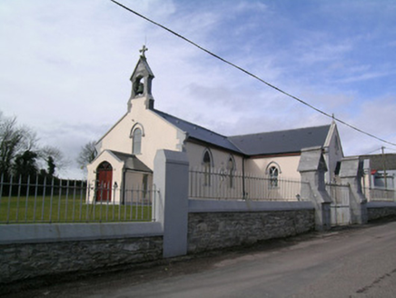 Saint Bartholomew's ChurchChurch/chapel · 1752 yd
 Scartbarry HouseHouse · 1.0 mi
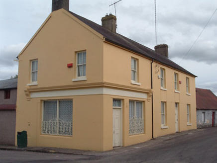 post office1.1 mi
.jpg/250px-St._Bartholomews_Holy_Well_(geograph_3090257).jpg "Photo: Hywel Williams, Wikimedia Commons · CC BY-SA 2.0") St Bartholomews WellHoly well · 1.2 mi
St Bartholomews WellHoly well · 1.2 mi Rathcormac massacreMassacre · 1.2 mi
 Barrymore Castle or Castle LyonsHouse, fortified house · 3.9 mi
 St Bridgets WellHoly well · 4.7 mi
 Coole WellVisitor information · 5.9 mi
 Lavitts QuayMemorial · 12 mi
More archaeology and monuments in County Cork · All of County Cork
What do you know about this place?