
What is recorded here
Barrymore Castle stands as a broken square in rolling Cork pasture, its massive chimney stacks still piercing the sky after an accidental fire destroyed the home in 1771. Lord Barrymore built the grand residence around 1621 for his marriage to Alice Boyle, creating a dazzling estate with gardens and canals before it became a dangerous military stronghold. The ruin now hides a medieval core beneath seventeenth-century walls, inviting imagination about the joyful feasts and fearful sieges that once echoed through its courtyard.
In gently rolling pasture; on low limestone outcrop. The building here was burnt in 1771, when it formed 'a large square building, with a court in the centre' (Smith 1750, vol. 1, 157). The ruin was subsequently much damaged by quarrying, so that it now survives in two portions: to S are low remains with medieval core (CO045-138---), whilst c. 20m to N, are ruins dating from 17th century. These consist of rectangular block (int. 27m E-W; 5mN-S) forming NE side of courtyard complex; at W end is addition (int. 12.5m E-W; 5m N-S) on same line, W wall founded on earlier foundations; c. 6mfrom SE corner of rectangular block, projecting to S, much ruined section of E side of complex (int. 7m E-W; survives for c. 10m N-S). Main rectangular block missing most of E wall and W half of S wall; most of S and W walls of addition to W also fallen.
Main block 3-storey with attic, basement at E end. Ruins dominated by three massive elaborate chimney stacks: two in N wall of main block and one atop W dividing wall; stacks on N wall project on outer face for full height of wall. At the top are diagonally-set conjoined shafts, capped by a cornice. Window opes poorly preserved, missing their light frames. Fireplaces, which occur at each floor level, also poorly preserved; large fireplace with flanking bread ovens in floor over basement on E side. Rock cut drain in NW corner possibly inlet for aqueduct mentioned by Smith (ibid, 157). Stack oncross wall, fed by very large fireplace, missing lintel and breast, at ground level on W face.
On N side of house is terrace (L c. 54m; Wth c. 7m) with stone facing on N side (H c. 4m); parts of earlier structure project through central and western part of terrace, surviving as lengths of stone facing against rock outcrop; possibly part of artillery fortification shown surrounding house on Downe Survey map (1652). Rectangular tower (int. 4m N-S; 2.4m E-W) stands c. 8m NW of NW corner of complex; only opes high up on N and S walls, probably windows; not a defensive tower but probably ornamental feature; Smith (ibid) mentions 'gardens, with a large canal, to the W'; this area now in pasture but two round-arched bridges, approached from house by causeway, probably built as part of ornamental grounds.
Medieval core to S also remodelled as part of house complex. To S from SW corner of complex (distance c. 25m), on slightly different line to W side of complex, length of wall (c. 40m N-S) survives, heavily ivy clad; probably part of bawn; stairs on E face to wall walk, robbed of steps; whatare probably gun loops visible through ivy.
House built by Lord Barrymore c. 1621 when he married Alice Boyle, daughter of the Earl of Cork, and 'mortgaged Barry's Court...to raise money to repair and enlarge Castle Lyons' (O Maidín 1959, 121). Fortifications around house probably built c. 1641-2 when it became English stronghold and featured in a number of engagements (see Smith 1750, vol. 2, 116-76). Destroyed by an accidental fire on 22 July 1771 (Barry 1900, 207).
The above description is derived from the published 'Archaeological Inventory of County Cork. Volume 2: East and South Cork' (Dublin: Stationery Office, 1994). In certain instances the entries have been revised and updated in the light of recent research.
Date of upload/revision: 14 January 2009
The castle was built by the Barrymore family, who held significant land in the region during the medieval period, and was later associated with the Fitzgeralds, Earls of Kildare. It is remembered for its strategic importance in the area and the description of its layout from the 18th century before its destruction by fire in 1771.
The monument record does not grant public access. Check the route and ask the landowner before entering private land.
- What survives
- Recorded monument
Places near here
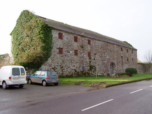 Barrymore Barnstore/warehouse · 84 yd
 Church in Kill Saint Anne SouthChurch · 204 yd
 Burial ground in Kill Saint Anne NorthBurial ground · 1270 yd
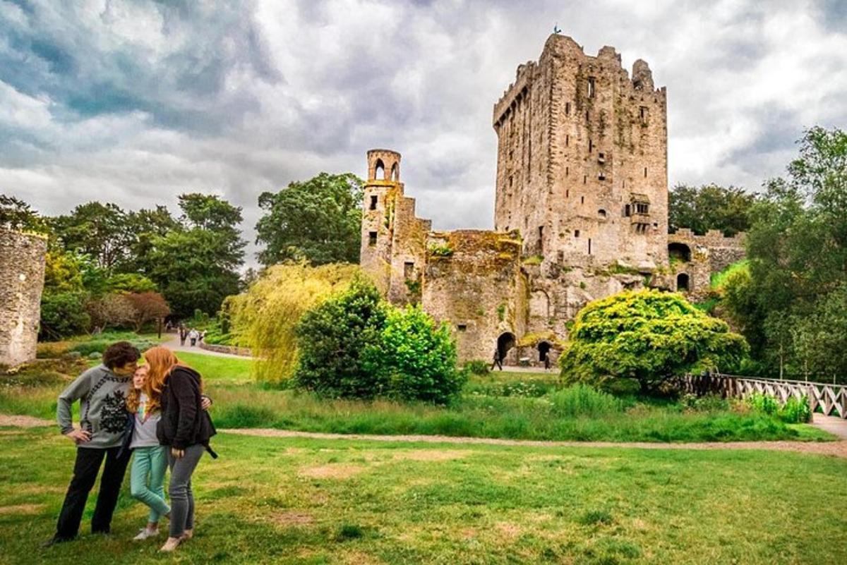 Killawillin Church (Site of)Church · 1576 yd
 Pope's WellSpring · 1.4 mi
 Castle (Site of)Castle, unclassified · 1.8 mi
 Tower (in Ruins)Bawn · 1.9 mi
 Coole WellVisitor information · 2.0 mi
 Strawhall WoodForest · 2.7 mi
 Ballybrack WoodForest · 2.9 mi
 Kent BridgeMemorial · 4.1 mi
 Graveyard in FermoyGraveyard · 4.1 mi
Other information
Photo: Mike Searle · CC BY-SA 2.0