
What is recorded here
In a small rectangular yard (28m NW-SE; 22m NE-SW) defined by a field boundary on its SW side, by farm buildings on its NW and NE sides and by a road on its SE side. According to local information, bones were uncovered in the SW part of this yard in the early 1950s when a low rise was being levelled. The bones remain in situ. A cross-inscribed stone (CO045-146002-) lies immediately outside the field boundary at SW in a field known as the 'graveyard field'.
The above description is derived from 'The Archaeological Inventory of County Cork. Volume 5' (Dublin: Stationery Office, 2009).
Date of upload: 22 December 2009
The monument record does not grant public access. Check the route and ask the landowner before entering private land.
- What survives
- Recorded monument
Places near here
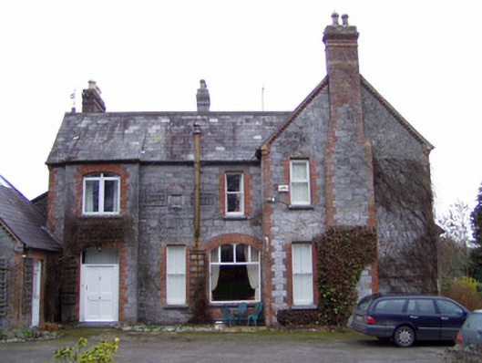 The Manorhouse · 90 yd
 Castlelyons Churchchurch/chapel · 312 yd
 Barrymore Castle or Castle LyonsHouse, fortified house · 1270 yd
 Pope's WellSpring · 1555 yd
 BarrowBarrow, unclassified · 1.0 mi
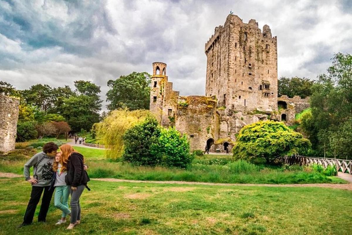 Killawillin Church (Site of)Church · 1.6 mi
 Coole WellVisitor information · 2.0 mi
 Strawhall WoodForest · 2.0 mi
 Tower (in Ruins)Bawn · 2.1 mi
 Ballybrack WoodForest · 2.2 mi
 Kent BridgeMemorial · 3.4 mi
 Graveyard in FermoyGraveyard · 3.4 mi
Other information
Photo: Credit not shown in the picture search · Rights wording not checked; contact us if this picture should be removed