What is recorded here
Carrickbaggot graveyard in County Louth holds church remains at its centre but resisted identification of dead people even when inspected in 1966. Its rectangular outline, about thirty by twenty-four metres, still marks a place set apart for death while the absence of gravemarkers denies the usual proof. That gap makes the site feel less like a completed record and more like a room where the dead left no shadows behind.
Rectangular shaped graveyard (map dims. c. 30m NE-SW; c. 24m NW-SE) with church remains (LH018-046001-) in centre. When inspected by ASI in 1966 no gravemarkers were noted and according to local information no burials had taken place in living memory.
Compiled by: Claire Breen
Date of upload: 5 July 2012
The monument record does not grant public access. Check the route and ask the landowner before entering private land.
- What survives
- Recorded monument
Places near here
 Chapel (in Ruins), GraveyardChurch · 5 yd
 Holy well in CarrickbaggotHoly well · 441 yd
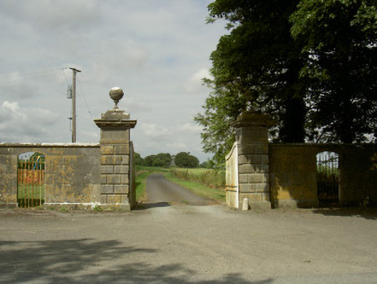 Rokeby Hallgates/railings/walls · 740 yd
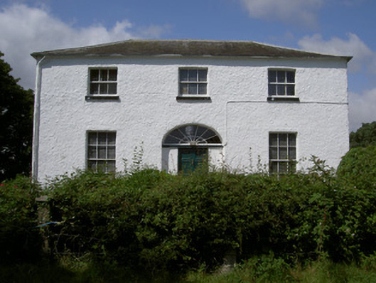 Glebe Houserectory/glebe/vicarage/curate's house · 993 yd
 Man-made underground passage in BrittasMan-made underground passage · 1108 yd
 Moneyveg WoodForest · 1.1 mi
 Sweet baySweet bay · 1.4 mi
 BarmeathCastle, tower house · 1.4 mi
 Graveyard in DysartGraveyard · 1.6 mi
 CastleCastle, motte · 2.0 mi
 Tullydonnell HillMountain / peak · 2.5 mi
 MonasterboiceEarly monastic site · 4.1 mi