
What is recorded here
From the National Monuments Service (Archaeological Survey of Ireland) record LH014-023002
Places near here
Photo credits
- National Inventory of Architectural Heritage
- Maker not stated on source page, www.flickr.com
- Maker not stated on source page, en.wikipedia.org
- Maker not stated on source page, ru.wikipedia.org
- Kieran Campbell, Geograph · CC BY-SA 2.0
- Maker not stated on source page, readymap.irish
- Malene Thyssen, Wikimedia Commons · CC BY-SA 3.0
- Maker named on the Wikimedia Commons picture page · Public domain
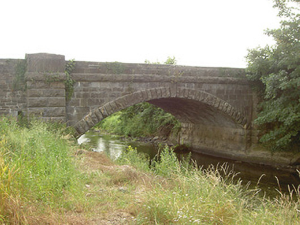 Mapastown BridgeBridge · 273 yd
Explorer Tom Mapastown Bridge is listening to the river whispering secrets about old stone walls and forgotten rubble. The contrast…
 Graveyard in ClonkeehanGraveyard · 1372 yd
Explorer Tom This graveyard in Clonkeehan is missing from every map, which is impressive for a place full of permanent residents. It…
 Church (in ruins)Church · 1385 yd
Explorer Tom Church in Clonkeehan claims to be older than the concept of shoes, which I find highly suspicious given its flimsy…
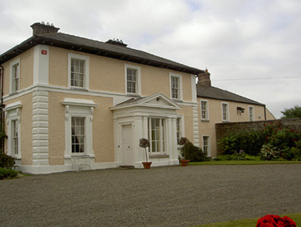 Dowdstown HouseCountry house · 1507 yd
Explorer Tom Dowdstown House: The window brackets on this house feature pigs and sheep heads, which is either very clever or just…
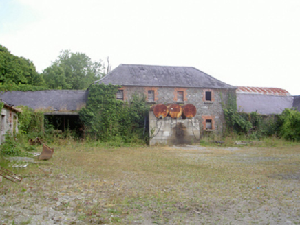 Corbollis HouseCountry house · 1632 yd
Explorer Tom Corbollis House is sick of being asked where the actual house went, as it was demolished ages ago. The gate lodge is…
 CastleCastle, unclassified · 1748 yd
Explorer Tom Irishtown Castle is currently being judged by a very critical local sheep who thinks it’s overrated. The field is named…
 Enclosure in Lisrenny (ardee By; Tallanstown Par.)Enclosure · 1.0 mi
Explorer Tom Enclosure in Lisrenny has two concentric fosses, which is how it judges tourists from Dublin who can’t even read a map…
 Earthwork in DrumcashelEarthwork · 1.7 mi
Explorer Tom Earthwork in Drumcashel in Louth is showing off its 37-metre diameter like it won a prize. It’s been minding its own…
 Roodstown CastleCastle, tower house · 1.8 mi
Explorer Tom Roodstown Castle has been in a long, bitter feud with the nearest tree about who gets more sunlight. They’re both four…
 St. Oliver Plunkett's CemeteryCemetery · 2.3 mi
Explorer Tom St. Oliver Plunkett's Cemetery in County Louth is full of stories about smugglers hiding whiskey in their coffins to…
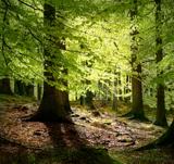 European Beech2.5 mi
Explorer Tom European Beech in County Louth has a poet who fell in the ditch nearby, crying about his socks getting muddy. Have a…
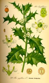 English holly2.5 mi
Explorer Tom English holly in County Louth is holding a dance that went slightly too far, spilling berries everywhere. It’s…
More archaeology and monuments in County Louth · All of County Louth

What do you know about this place?Tap to add a comment or ask a question