
What is recorded here
The following description is derived from both the published 'Archaeological Inventory of County Louth' (Dublin: Stationery Office, 1986) and the 'Archaeological Survey of County Louth' (Dublin: Stationery Office, 1991). In certain instances the entries have been revised and updated in the light of recent research.
Date of upload/revision: 17 July 2007
Undivided nave and chancel (int. dims. 4.2m by 4.8m) built of rough uncoursed limestone rubble and greywacke. E gable and N wall are completely destroyed down to their foundation courses. W gable has a double-splayed ope with slab lintels. S wall is featureless except for a doorway c. 4.5m from W gable. The doorway is 0.9m wide and has a reveal at each side. The double-splayed W window and the reveals on the doorway indicate a church of late medieval date. This site is adjacent to a possible motte (LH014-022001-). (CLAJ 1943, 207)
The monument record does not grant public access. Check the route and ask the landowner before entering private land.
- What survives
- Recorded monument
Places near here
 MoatCastle, motte and bailey · 191 yd
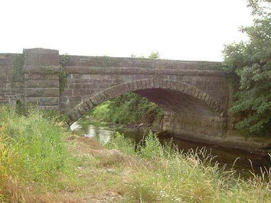 Mapastown Bridgebridge · 262 yd
 Derrycammagh FortArchaeological place · 1014 yd
 EnclosureEnclosure, large enclosure · 1440 yd
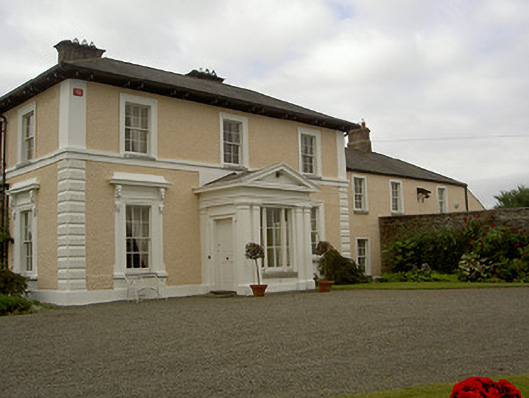 Dowdstown Housecountry house · 1514 yd
 Rabbit BurrowWood · 1.3 mi
 Long PlantationForest · 1.7 mi
 Roodstown CastleCastle, tower house · 1.8 mi
 Graveyard in StickillinGraveyard · 2.9 mi
 Graveyard in Richardstown (ardee By., Richardstown Par.)Graveyard · 3.4 mi
 Drummeenagh HillMountain / peak · 4.3 mi
 Mount OrielMountain / peak · 7.4 mi
Other information
Photo: Credit not shown in the picture search · Rights wording not checked; contact us if this picture should be removed