
What is recorded here
Situated on a fairly level landscape. The cropmark of a large circular enclosure (diam. c. 70m) defined by a fosse feature (Wth c. 2-5m) ESE-W-NE is visible on Google Earth (12/07/2013; 21/04/2019; 27/06/2019), with an outer fosse SSE-NW (ext. diam. c. 100m NW-S) that joins the inner fosse at NW but is not visible elsewhere. Rath (LH014-096----) is c. 95m to the ENE. The enclosure is also faintly visible on OSI aerial images (c. 2012), and was first reported by Anthony Murphy.
Compiled by: Michael Moore
Date of upload: 11 November 2019
A local fairy fort (ringfort/rath); wider significance not recorded.
The monument record does not grant public access. Check the route and ask the landowner before entering private land.
- What survives
- Recorded monument
Places near here
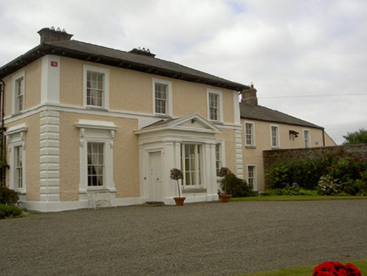 Dowdstown Housecountry house · 602 yd
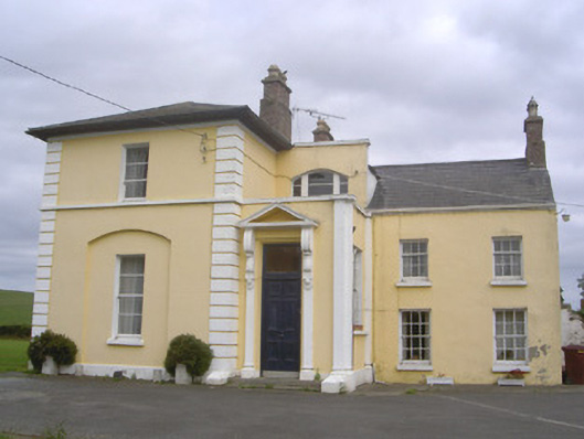 Pepperstown Househouse · 751 yd
 MoatCastle, motte and bailey · 1595 yd
 Lisrenny (Site of)Enclosure · 1600 yd
 Enclosure in PepperstownEnclosure · 1.1 mi
 Long PlantationForest · 1.5 mi
 European BeechEuropean Beech · 1.7 mi
 Roodstown CastleCastle, tower house · 1.7 mi
 Graveyard in StickillinGraveyard · 2.5 mi
 Graveyard in Richardstown (ardee By., Richardstown Par.)Graveyard · 3.4 mi
:no_upscale()/cdn.vox-cdn.com/uploads/chorus_asset/file/25593391/County_Louth_6th.jpg) LouthMountain / peak · 4.0 mi
LouthMountain / peak · 4.0 mi Drummeenagh HillMountain / peak · 5.0 mi
Other information
Photo: Credit not shown in the picture search · Rights wording not checked; contact us if this picture should be removed