
Places near here
Photo credits
- Kieran Campbell, Geograph · CC BY-SA 2.0
- Garry Dickinson, Geograph · CC BY-SA 2.0
- National Inventory of Architectural Heritage
- McSherry Electrical project photograph (individual photographer unstated), www.mse.ie
- Kieran Campbell, Geograph · Creative Commons Attribution-ShareAlike 2.0
 Church (in ruins)Church · 12 yd
Explorer Tom Church in Darver is so broken it looks like someone sneezed on it, which might actually be true. The Vikings probably…
 Bawn in DarverBawn · 103 yd
Explorer Tom Bawn in Darver has a gatehouse that thinks it’s the main event, even though the castle next door is doing all the work.…
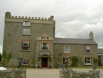 Darver CastleCastle/fortified house · 110 yd
Explorer Tom Darver Castle in County Louth claims it smuggled entire libraries through the walls back in the day. The neighbours…
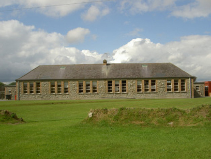 Darver National SchoolSchool · 428 yd
Explorer Tom Darver National School would bring a chalkboard full of secrets to any party. It sits high up there, acting like it’s…
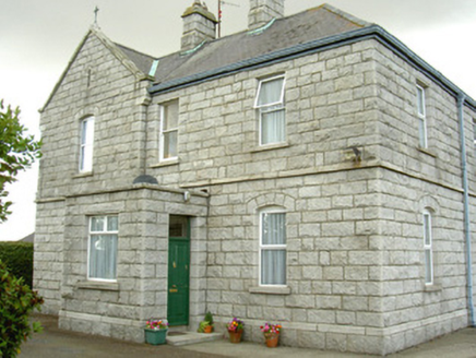 Saint Michael's Catholic ChurchPresbytery/parochial/curate's house · 480 yd
Explorer Tom Saint Michael’s parochial house is the bouncer of the Darver complex. It’s got a gable-fronted breakfront that looks…
 Cuillenstown, Louth GAA Centre of ExcellenceGAA ground · 631 yd
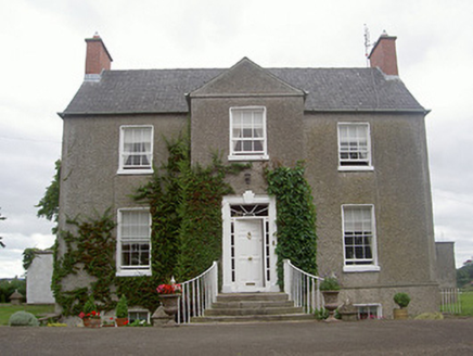 The Old RectoryRectory/glebe/vicarage/curate's house · 1044 yd
Explorer Tom The Old Rectory is hiding a treasure that is definitely a biscuit tin from 1820 tucked somewhere in the walls. Francis…
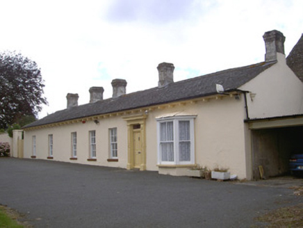 Newtown DarverFarm house · 1239 yd
Explorer Tom Newtown Darver farm house in County Louth hears the cows gossiping through the thick walls at midnight. The walled…
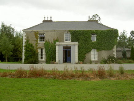 Kilincoole HouseHouse · 1525 yd
Explorer Tom Kilincoole House smells like old books, fresh bread, and regret, according to my reliable nose. It was built by the…
 Graveyard in KillincooleGraveyard · 1546 yd
Explorer Tom Graveyard in Killincoole has one stubborn bird that refuses to leave despite the restoration scheme. It sits on the…
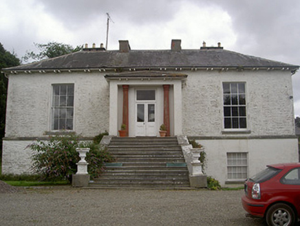 Corderry HouseCountry house · 1.4 mi
Explorer Tom Corderry House ended up in the wrong place because the mapmaker had a bit too much tea. The stone outbuildings are…
 Graveyard in Richardstown (ardee By., Richardstown Par.)Graveyard · 5.0 mi
Explorer Tom Richardstown’s graveyard sits in the wooded grounds of a castle with a modern top half. It is secretly proud of the…
More archaeology and monuments in County Louth · All of County Louth

What do you know about this place?Tap to add a comment or ask a question