
What is recorded here
On the E side of a N-S running road, in the centre of an early ecclesiastical enclosure (CO010-003001-). This roughly rectangular graveyard (c. 35m NW-SE; c. 30m NE-SW) is enclosed by a stone wall (H c. 1.5m; Wth c. 1.5m); it is entered by a stile to the W and by a gate at the SSW corner. It contains the remains of…
Read the whole record
From the National Monuments Service (Archaeological Survey of Ireland) record CO010-003002
Places near here
Photo credits
- Valerie M Cahill, Wikimedia Commons · CC BY-SA 4.0
- National Inventory of Architectural Heritage
- Maker not stated on source page, www.wikidata.org
- john salter, Geograph · CC BY-SA 2.0
- Peter Wood, Geograph · CC BY-SA 2.0
- Maker not stated on source page, storage.googleapis.com
- Maker not stated on source page, www.megalithic.co.uk
- Maker not stated on source page, monumentalireland.ie
- Maker not stated on source page, www.youtube.com
- Maker not stated on source page, tr.pinterest.com
 Labbamolaga Church (in Ruins)Church · 17 yd
Explorer Tom Labbamolaga Church was reported in ruins in 1615 but kept going anyway like a stubborn old mate. It nearly got sold for…
 monument1.8 mi
Explorer Tom The Monument in Knockanevin is a high cross that’s been standing since 1945, honoring local heroes. It’s surrounded by…
 Fairy fort / earthen ringfort in BallyfeerodeFairy fort / earthen ringfort · 1.8 mi
Explorer Tom Fairy fort / earthen ringfort in Ballyfeerode is arguing with the river over parking rights. It’s got a diamond-shaped…
 Saint Molaga's ChurchChurch/chapel · 1.8 mi
Explorer Tom Saint Molaga's Church in Knockanevin is all Gothic Revival from the 1820s. It has a bellcote that looks like it’s…
 school1.9 mi
Explorer Tom School in Knockanevin is disused but still pretending to teach with separate entrances for boys and girls. It’s got…
 Church in MarshalstownChurch · 3.7 mi
Explorer Tom Church in Marshalstown would describe the 1800s to a teenager as 'before smartphones but after bad haircuts.' It’s a…
 Church (in Ruins)Church · 3.7 mi
Explorer Tom Church in Marshalstown nearly got famous once when a tourist mistook it for a haunted castle and posted it online. The…
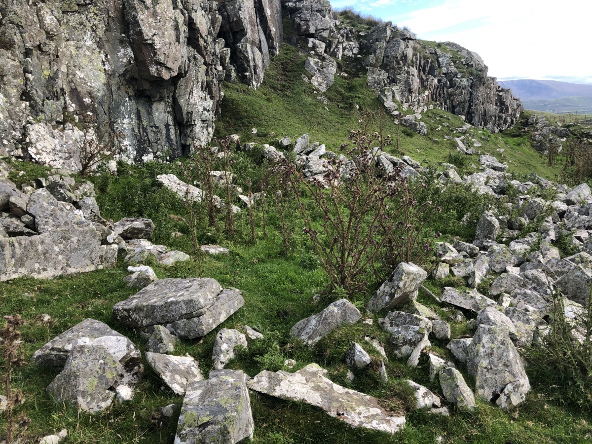 Enclosure in Cloghleafin (condons and Clongibbon By., Kilgullane Par.)Enclosure · 3.8 mi
Explorer Tom Enclosure in Cloghleafin is faintly visible as a cropmark on an aerial photo from 1984. There are possible ringforts…
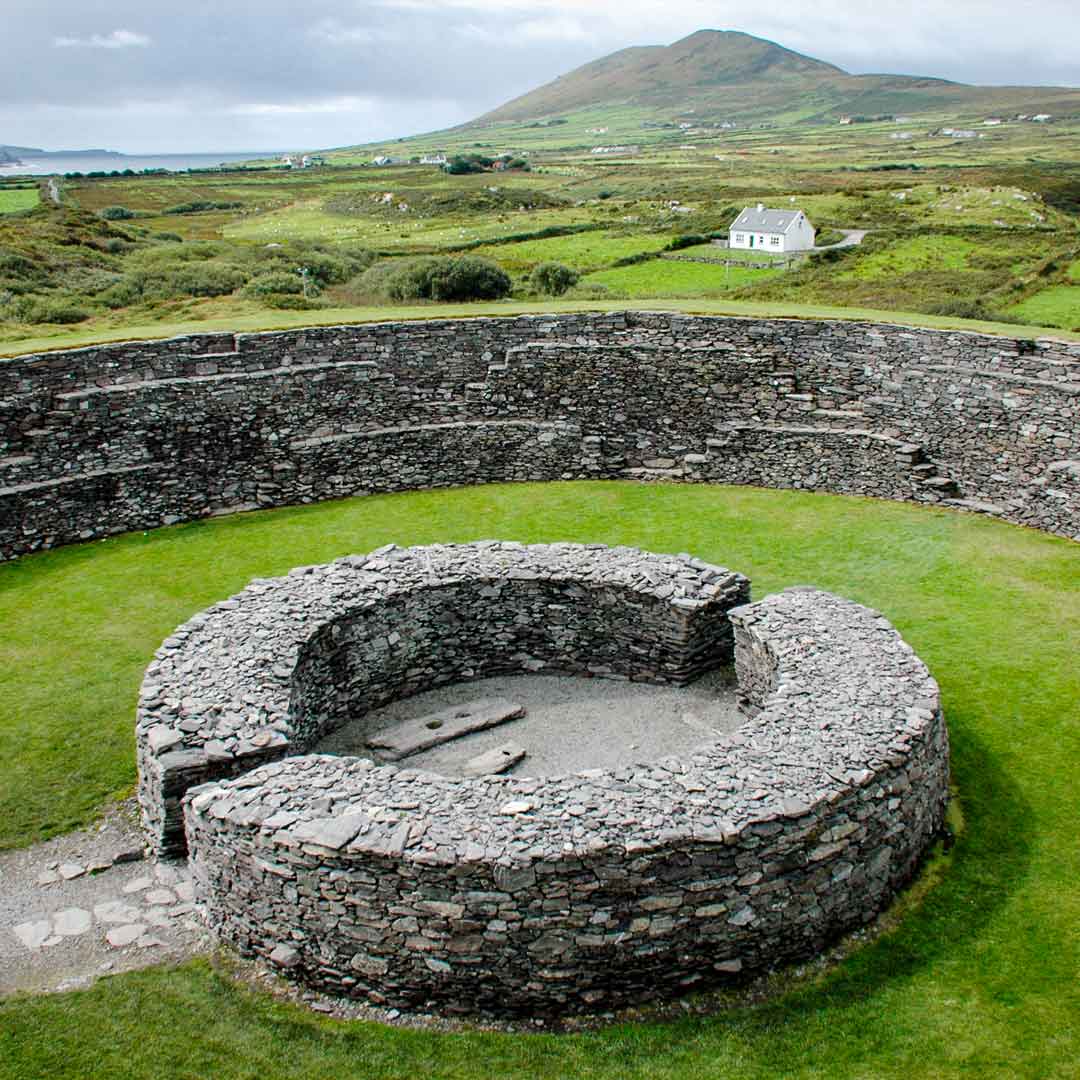 Fairy fort / earthen ringfort in AghacrossFairy fort / earthen ringfort · 4.1 mi
Explorer Tom Fairy fort / earthen ringfort in Aghacross had its entrance widened for farm machinery, so the fairies are commuting…
 Ecclesiastical enclosure in AghacrossEcclesiastical enclosure · 4.1 mi
Explorer Tom Aghacross thinks Dublin tourists are just noisy tourists who don't know how to appreciate a quiet river bank properly.…
 Fairy fort / earthen ringfort in Meadstown (fermoy By.)Fairy fort / earthen ringfort · 5.7 mi
Explorer Tom Fairy fort / earthen ringfort in Meadstown was drawn on an old map, but it’s gone now. Levelled and no trace left. It’s…
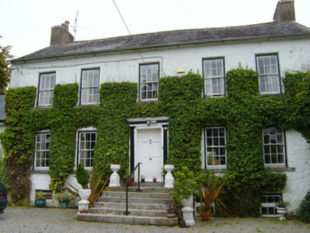 Spring LodgeCountry house · 5.8 mi
Explorer Tom Spring Lodge in Kilfinnane is planning retirement by turning into a very fancy garden shed for the local cats. It has…
More archaeology and monuments in County Cork · All of County Cork

What do you know about this place?Tap to add a comment or ask a question