What is recorded here
Meadstown in Fermoy Bay once held a circular earthen ringfort about twenty metres across, marked clearly on the 1842 Ordnance Survey map before ploughs and time erased it. That is the whole shape now: a small strong line drawn in ink, not a ridge of soil. Yet the drawing preserves what the land forgot. A family may have lived there, raised children, argued about weather, and vanished so completely that even the earth stopped remembering them.
In pasture, on gentle N-facing slope. Depicted as hachured circular enclosure (diam. c. 20m) on 1842 OS 6-inch map. Levelled; no visible surface trace.
The above description is derived from the published 'Archaeological Inventory of County Cork. Volume 4: North Cork' (Dublin: Stationery Office, 2000). In certain instances the entries have been revised and updated in the light of recent research.
Date of upload/revision: 14 January 2009
The monument record does not grant public access. Check the route and ask the landowner before entering private land.
- What survives
- Recorded monument
Places near here
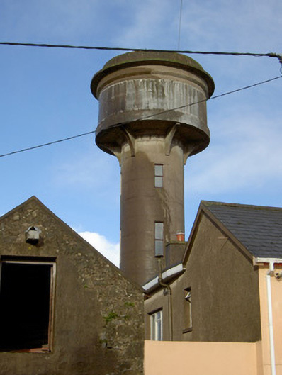 water towerwater tower · 512 yd
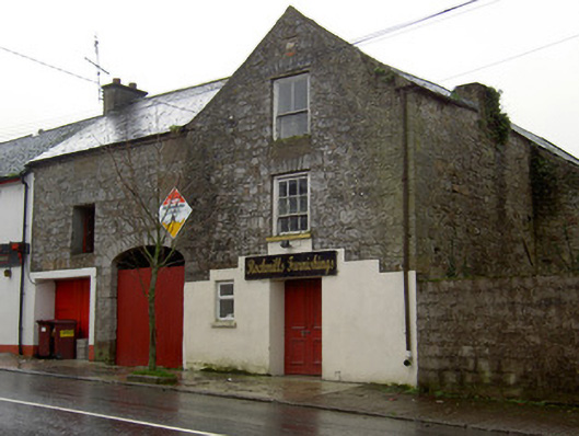 Rockmills Furnishingsstore/warehouse · 571 yd
 Ecclesiastical enclosure in KilmacullaEcclesiastical enclosure · 1088 yd
 Castletown Castle (Site of)Castle, unclassified · 1185 yd
 IndicatedFairy fort / earthen ringfort · 1357 yd
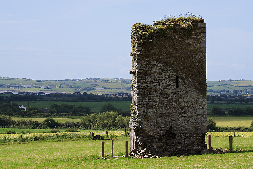 Farahy Castle (in Ruins)Castle, unclassified · 1526 yd
 North Meadow WoodForest · 1.3 mi
 Flat cemetery in Ballyenahan NorthFlat cemetery · 1.4 mi
 Horse Field WoodForest · 1.4 mi
 CarrigeenamronetyMountain / peak · 3.3 mi
 Coolfree MountainMountain / peak · 3.8 mi
 Anne's Grove GardensHeritage attraction · 3.8 mi