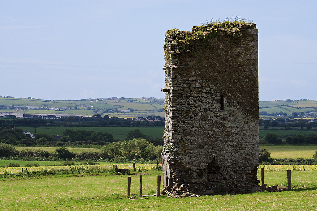
What is recorded here
Farahy Castle belonged to the Roches before Cromwell granted it to Bowen, but Walsh's farm later absorbed its hall and kitchen. Grove White measured walls three to four feet thick and a ceiling with three cross beams in 1907, proving the castle had not vanished but become a home. The house and its borrowed castle parts have since disappeared, leaving only a farmyard near the Farahy River to remember what ownership and occupancy did to the stones.
In farmyard, c. 60m NE of Farahy River. Site of castle indicated within circular enclosure defined by broken line on 1842 OS 6-inch map; named 'Castle Dairy on site of Farahy Castle' on 1905 map. Grove White (1905-25, vol. 3, 116-7) noted in 1907 that some of the remains formed the hall and kitchen at the W end of Walsh's farm house; he noted walls 'three feet to four feet thick and...about 25 feet in height...There is an old ceiling in the kitchen showing three cross beams, cross joists, and boards. This is probably the original ceiling'; the castle was 34 feet 6 inches long by 19 feet 7 inches in breadth; portion of it was taken down about 1860 (ibid.). House no longer exists and no visible trace of castle was noted in remaining farm buildings. Castle of the Roches, later granted to Bowen by Cromwell (Healy 1988, 413).
The above description is derived from the published 'Archaeological Inventory of County Cork. Volume 4: North Cork' (Dublin: Stationery Office, 2000). In certain instances the entries have been revised and updated in the light of recent research.
Date of upload/revision: 14 January 2009
This remains an important historical record, but the official description says the monument is no longer visible or has been destroyed. The monument record does not grant public access. Check the route and ask the landowner before entering private land.
- What survives
- No visible remains or recorded as destroyed
Places near here
 Saint Colman's Churchchurch/chapel · 287 yd
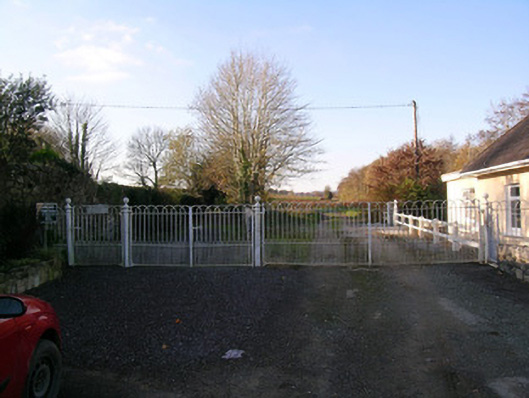 Bowen's Courtdemesne walls/gates/railings · 291 yd
 Grave YardGraveyard · 300 yd
 IndicatedFairy fort / earthen ringfort · 423 yd
 North Meadow WoodForest · 826 yd
 Horse Field WoodForest · 973 yd
 Castletown Castle (Site of)Castle, unclassified · 1.5 mi
 Ruane Castle (Site of)Castle, unclassified · 1.7 mi
 Flat cemetery in Ballyenahan NorthFlat cemetery · 2.1 mi
 Anne's Grove GardensHeritage attraction · 3.5 mi
 CarrigeenamronetyMountain / peak · 3.5 mi
 Coolfree MountainMountain / peak · 3.6 mi
Other information
Photo: Credit not shown in the picture search · Rights wording not checked; contact us if this picture should be removed