
Places near here
Photo credits
- National Inventory of Architectural Heritage
- Kmcnamee, Wikimedia Commons · CC BY-SA 4.0
- Maker not stated on source page, www.pinterest.com
- Maker not stated on source page, www.youtube.com
- Maker not stated on source page, ru.pinterest.com
- Willow, Wikimedia Commons · CC BY 2.5
- Kieran Campbell, Geograph · CC BY-SA 2.0
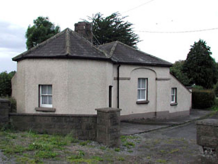 toll house757 yd
Explorer Tom Toll house in Primatestown is holding a long grudge against the weather for making its octagonal bay look lopsided. The…
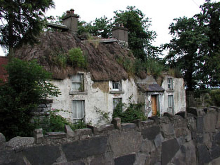 farm house770 yd
Explorer Tom Farm house in Primatestown is where a priest once lost a bet and never spoke again. The thatch is holding up…
 Curraha GAA pitchGAA ground · 1.1 mi
 Church (in Ruins)Church · 1.3 mi
Explorer Tom Church in Roadmain refuses to fall down because it thinks it looks good doing it. It’s been holding its shape since the…
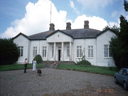 Laurel MountCountry house · 2.4 mi
Explorer Tom Laurel Mount is secretly proud of one specific potato it grew in 1800, and it hasn’t stopped bragging about it since.…
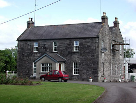 Oberstown HouseFarm house · 3.5 mi
Explorer Tom Oberstown House in County Meath mixes limestone and brick like it’s showing off. Its first owner planned to escape by…
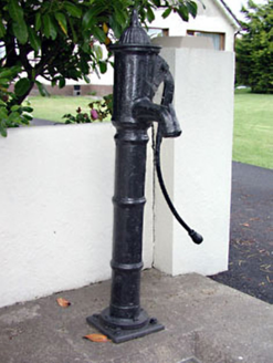 water pump3.7 mi
Explorer Tom Water pump in Skreen is just standing there looking decorative while doing absolutely no work today. I swear the stones…
 TombTomb, chest tomb · 3.8 mi
Explorer Tom Tomb in Trevet looks like it would wear a tuxedo and drink too much champagne at a wedding. Sir Thomas Cusack is buried…
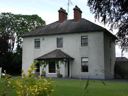 presbytery/parochial/curate's house3.9 mi
Explorer Tom Presbytery in Skreen thinks Dublin tourists are just fancy farmers who forgot their boots. It’s got outbuildings that…
 Fairy fort / earthen ringfort in Collierstown (skreen By.)Fairy fort / earthen ringfort · 4.2 mi
Explorer Tom This Collierstown ringfort really hates when visitors trip over its own banks, which are surprisingly soft for being…
 European ash4.5 mi
Explorer Tom European ash in County Meath makes map makers look like amateurs because nobody can seem to find the right path to it.…
 CastleCastle, tower house · 5.1 mi
Explorer Tom Castle in Monktown is locked in an eternal feud with the rain, and honestly, it’s losing badly. You’ve got a Cistercian…
More archaeology and monuments in County Meath · All of County Meath

What do you know about this place?Tap to add a comment or ask a question