
What is recorded here
Situated just off summit of low hillock on S-facing slope in pasture with good views of the surrounding countryside. According to the Annals, Cill Chéire [Kilkeary] was named after the Virgin Saint Ciar or Cera who died on the 5th of January in the year 679 (O'Donovan 1856, 287). The extant medieval church ruins may…
Read the whole record
From the National Monuments Service (Archaeological Survey of Ireland) record TN021-074002
Places near here
Photo credits
- Maker not stated on source page, ru.pinterest.com
- National Inventory of Architectural Heritage
- Maker not stated on source page, dev.churchservices.tv
- Maker not stated on source page, en.wikipedia.org
- Maker not stated on source page, commons.wikimedia.org
- Maker not stated on source page, tr.pinterest.com
- Mike Searle, Geograph · CC BY-SA 2.0
 Kilkeary Church (in ruins)Church · 10 yd
Explorer Tom Kilkeary Church is hiding a secret message in its stones that only cows can read. Saint Ciar died young, but her spirit…
 Kilkeary National SchoolSchool · 827 yd
Explorer Tom Kilkeary National School is standing tall with those steep roofs and symmetrical stiles, looking like it’s ready to win…
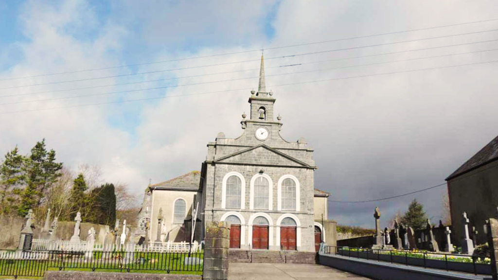 Church in Knockbrack (kilkeary Par.)Church · 1237 yd
Explorer Tom Church in Knockbrack in County Tipperary was supposedly run by a matchmaker who paired people based on how loudly they…
 Fairy fort / earthen ringfort in Ballintotty,kilconaneFairy fort / earthen ringfort · 1313 yd
Explorer Tom Fairy fort / earthen ringfort in Ballintotty, Kilconane would make an excellent history teacher if it had the patience…
 Earthwork in Knockbrack (kilkeary Par.)Earthwork · 1325 yd
Explorer Tom Earthwork in Knockbrack only exists on satellite images, so it’s basically a digital ghost with a New Year's…
Fairy fort / earthen ringfort in BallintottyFairy fort / earthen ringfort · 1637 ydExplorer Tom Fairy fort / earthen ringfort in Ballintotty was once so important they nearly swapped it for a horse, which honestly…
 The Old RectoryRectory/glebe/vicarage/curate's house · 1696 yd
Explorer Tom The Old Rectory is hiding a tunnel that supposedly goes straight to the pub cellar, saving everyone the walk on wet…
Fairy fort / earthen ringfort in BallygasheenFairy fort / earthen ringfort · 1741 ydExplorer Tom Fairy fort / earthen ringfort in Ballygasheen claims the Queen visited once, and nobody has proof either way. It’s got…
 Fairy fort / earthen ringfort in BallynalickFairy fort / earthen ringfort · 1.0 mi
Explorer Tom Fairy fort in Ballynalick is currently hosting a seagull convention where they are loudly debating who gets to sit on…
 NorwoodHouse · 1.6 mi
Explorer Tom Norwood in Ballynalick is getting absolutely roasted by the wind, which clearly hates those fancy carved lions on its…
 Ballintotty Castle (in ruins)Castle, tower house · 1.6 mi
Explorer Tom Ballintotty Castle is having a massive fairy dispute over who gets to park their tiny chariot on the slope. The river…
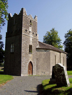 Ballynaclogh ChurchChurch/chapel · 1.6 mi
Explorer Tom Ballynaclogh Church is in a full-on feud with the next village over about who has the uglier graveyard gate. Its…
More archaeology and monuments in County Tipperary · All of County Tipperary

What do you know about this place?Tap to add a comment or ask a question