What is recorded here
Fairy fort / earthen ringfort in Ballynalick is a fairy fort or earthen ringfort in Ballynalick, County Tipperary, Ireland. It occupies a gentle southwest-facing slope in undulating terrain, now under tillage but still marked by a raised area of dense vegetation. An earth and stone bank defines the circle, measuring 3.5 metres wide, 1.37 metres high inside and 3.1 metres high outside. The bank slopes gently inward and steeply outward, though its external face is truncated in the south and west sectors while the inner face is less well preserved in the north sector.
Situated on a gentle SW-facing slope in undulating terrain, under tillage. Depicted on the OS 6-inch maps as a circular enclosure. The present remains consist of a raised area covered in dense vegetation defined by an earth and stone bank (Wth 3.5m; int. H 1.37m; ext. H 3.1m), which slopes gently to the interior and steeply to the exterior. The external face of the bank in the S and W sectors has been truncated. The bank, particularly the inner face, is less well preserved in the N sector. Foundations of a curving stone structure (L c. 13m; T 0.8m) c. 1m inside the inner face of the bank are also visible at N.
The above description is derived from 'The Archaeological Inventory of County Tipperary. Vol. 1 - North Tipperary' compiled by Jean Farrelly and Caimin O'Brien (Dublin: Stationery Office, 2002). In certain instances the entries have been revised and updated in the light of recent research.
Date of upload/revision: 22 September 2008
The monument record does not grant public access. Check the route and ask the landowner before entering private land.
- What survives
- Recorded monument
Places near here
 Norwoodhouse · 1090 yd
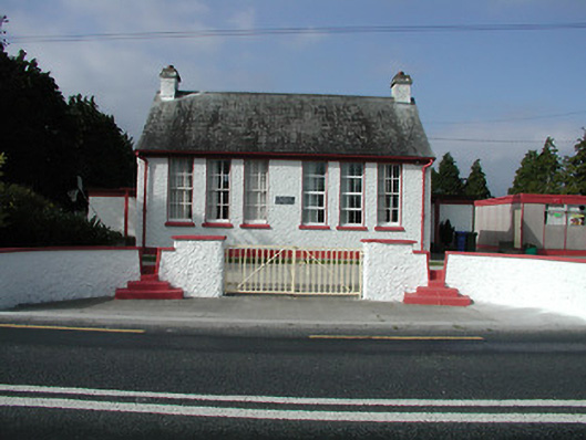 Kilkeary National Schoolschool · 1418 yd
 Ballintotty Castle (in ruins)Castle, tower house · 1.2 mi
 Settlement desertedSettlement deserted, medieval · 1.2 mi
 Habitation site in ClashnevinHabitation site · 1.2 mi
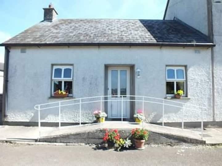 Millbrook Ho.Castle, unclassified · 2.2 mi
 Gibbet HillMountain / peak · 2.3 mi
 Knockacraheen HillMountain / peak · 2.9 mi
 Killavalla WoodForest · 3.5 mi
 James Devaney MemorialMemorial · 3.8 mi
 Old BarracksHeritage attraction · 4.0 mi
 Nenagh Heritage CentreMuseum · 4.2 mi