
Places near here
Photo credits
- Kieran Campbell, Geograph · CC BY-SA 2.0
- National Inventory of Architectural Heritage
- Kieran Campbell, Geograph · Creative Commons Attribution-ShareAlike 2.0
- Kmcnamee, Wikimedia Commons · CC BY-SA 4.0
- Maker named on the Wikimedia Commons picture page · CC BY-SA 3.0
- Sitomon, Wikimedia Commons · CC BY-SA 2.0
- Andreas F. Borchert, Wikimedia Commons · CC BY-SA 4.0
- Adriao, Wikimedia Commons · CC BY-SA 4.0
- Eric Jones, Geograph · CC BY-SA 2.0
 Dunany HouseHouse · 149 yd
Explorer Tom Dunany House has an unlikely celebrity friend who just wants to dance on the lawn. It’s been remodelling itself for…
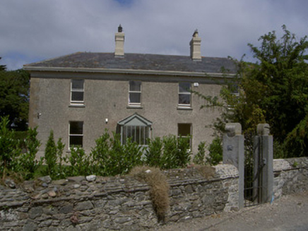 Seagrave HouseHouse · 749 yd
Explorer Tom Seagrave House in Dunany looks lopsided because it’s tired of holding its roof over one shoulder. The porch is…
 IndicatedGraveyard · 2.1 mi
Explorer Tom Graveyard in Salterstown is surrounded by sycamores that drop leaves directly on the headstones like they’re running a…
 John Markey Park, Naomh Fionnbarra GAAGAA ground · 3.8 mi
 Graveyard in DysartGraveyard · 3.8 mi
Explorer Tom Dysart’s church has a belfry that probably screamed louder than the vicar in the 1800s. It tells teenagers that back…
 BarmeathCastle, tower house · 4.1 mi
Explorer Tom Barmeath Castle in County Louth is wearing a new 1820s coat over its medieval body because it felt self-conscious at…
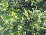 Sweet bay4.1 mi
Explorer Tom Sweet bay in County Louth would say in a job interview that it has excellent leaves and no management issues. It's…
 European Yew4.2 mi
Explorer Tom European Yew in County Louth offers a shortcut that isn't a shortcut, just a long loop back to where you started.…
 ToberanelshyHoly well · 6.3 mi
Explorer Tom Toberanelshy in Gallstown is called 'The Fairy Well,' which sounds lovely until you realize the area has been heavily…
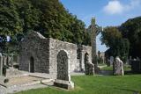 MonasterboiceEarly monastic site · 8.8 mi
Explorer Tom Monasterboice in County Louth is run by a dog that barks at monks, deciding who gets to sit where. Pretend you're a…
 Muiredach's High CrossHeritage attraction · 8.8 mi
Explorer Tom You think I can read every carving on Muiredach's Cross? Pull up a chair. Muiredach's High Cross at Monasterboice is a…
 The BushPicnic place · 9.8 mi
Explorer Tom The Bush is a picnic place where a priest lost a bet to a farmer over who could throw an apple further into the trees.…
More archaeology and monuments in County Louth · All of County Louth

What do you know about this place?Tap to add a comment or ask a question