What is recorded here
Associated with a ‘nunnery’ (LF010-062001-). This irregularly shaped graveyard (67m NW-SE; 64m NE-SW) is enclosed from N-S-WSW by a stone wall and elsewhere is defined by a scarp (H 1.1m; 1.9m). Access is via a wrought-iron gate at SW, adjacent to a roadway. The ground level within the interior is extremely uneven. Numerous low upright stones mark burials. Inscribed memorials date from the 18th to the 20th centuries. A possible cross (LF010-062004-) is associated.
Compiled by: Patrick F. O'Donovan, Caimin O'Brien
Date of upload: 4 June 2013
The monument record does not grant public access. Check the route and ask the landowner before entering private land.
- What survives
- Recorded monument
Places near here
 Religious houseReligious house, unclassified · 1 yd
 IndicatedFairy fort / earthen ringfort · 806 yd
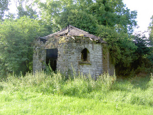 Cloonfin Housegate lodge · 1207 yd
 Cloonfin WoodForest · 1361 yd
 Clonfin Ambush MemorialMemorial · 1584 yd
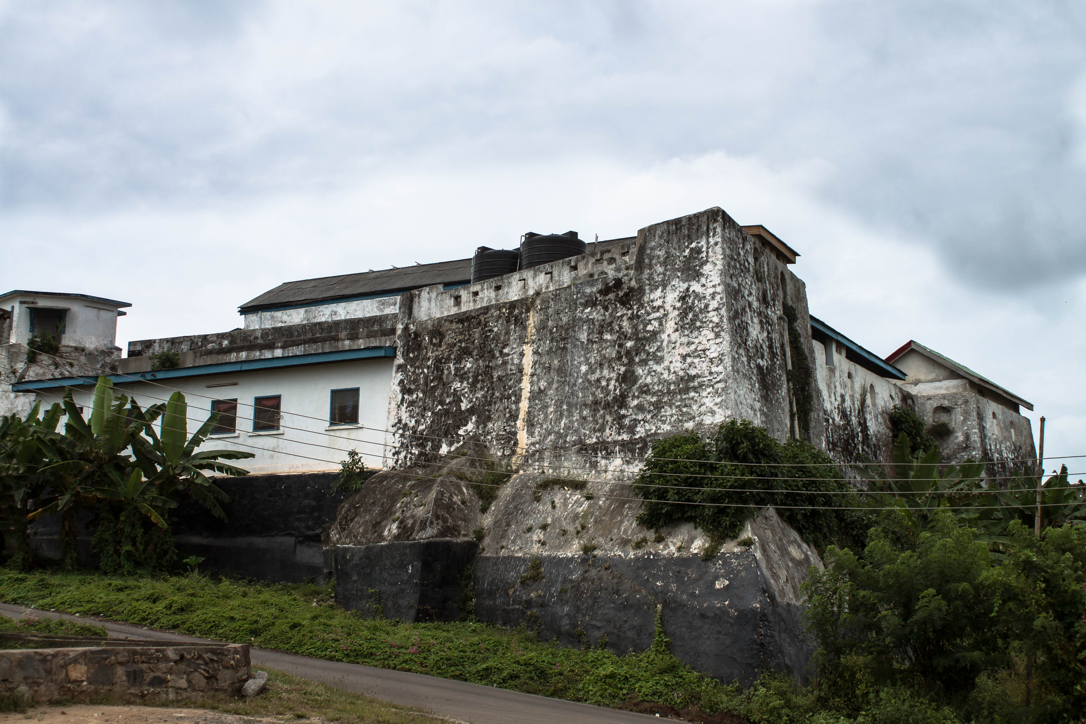 Orange FortFairy fort / earthen ringfort · 1.5 mi
 BawnBawn · 1.8 mi
 Ballinalee Forest WalkForest · 2.1 mi
 Bully's Acregraveyard/cemetery, unknown · 2.3 mi
 Bawn in CurrycahillBawn · 2.5 mi
 InchmoreIslet · 4.1 mi
 Granard MotteMotte-and-bailey castle remains · 4.2 mi