What is recorded here
Fairy forts are human origins misread through wonder, not literal fairy architecture. In Roos, an earthen ringfort stood on a low pasture rise, large enough to enclose thirty metres and visible on the 1837 map. Ploughs and people later softened it until only a shallow scarp remains, but that thin line still describes a place where someone drew a border around daily life.
On a low rise in pasture. Depicted as a circular enclosure with the designation 'Fort' on the 1837 ed. of the OS 6-inch map. The monument has been levelled. However, the outline of its perimeter, marked by a low scarp, may still be traced enclosing a roughly circular area (c. 30m E-W; c. 28m N-S).
Compiled by: Patrick F. O'Donovan
Date of upload: 26 August 2011
The monument record does not grant public access. Check the route and ask the landowner before entering private land.
- What survives
- Recorded monument
Places near here
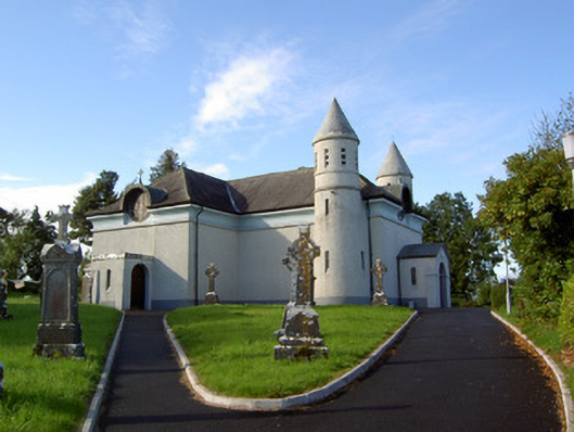 Saint James's Catholic Churchchurch/chapel · 521 yd
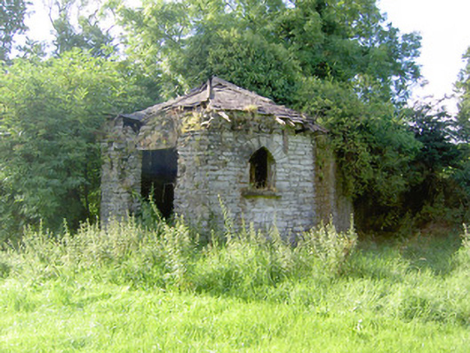 Cloonfin Housegate lodge · 1658 yd
 Clonfin Ambush MemorialMemorial · 1.1 mi
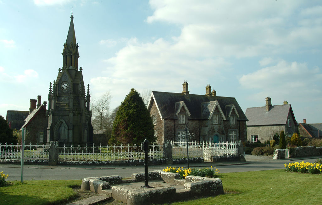 IndicatedFairy fort / earthen ringfort · 1.1 mi
 Frys IslandCrannog · 1.2 mi
 Cloonfin WoodForest · 1.8 mi
 Moat & FortCastle, motte and bailey · 1.8 mi
 RuinsCastle, unclassified · 1.9 mi
 Ballinalee Forest WalkForest · 2.1 mi
 Bully's Acregraveyard/cemetery, unknown · 2.5 mi
 Edgeworthstown BypassMemorial · 4.3 mi
 Granard MotteMotte-and-bailey castle remains · 4.7 mi