Places near here
Photo credits
- National Inventory of Architectural Heritage
- Granard Motte.png : Smcq Derivative work: Hogweard, Wikimedia Commons · CC BY-SA 3.0
- 2ManyCats4Me, Wikimedia Commons · CC0
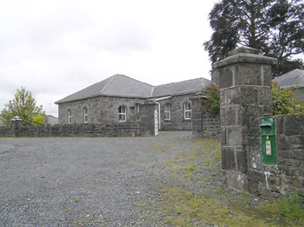 Lissard HouseGates/railings/walls · 613 yd
Explorer Tom Lissard House gates in Firmount are standing guard while some local swears he invented cast iron himself back in 1840.…
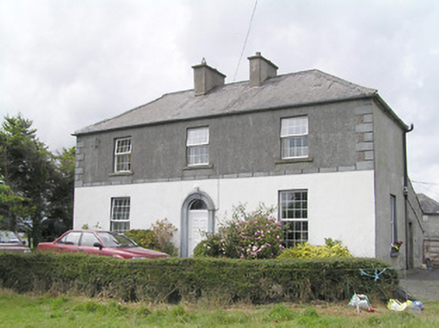 Firmount HouseSteward's house · 868 yd
Explorer Tom Firmount House in Firmount is wearing its best render like it's going to a gala. It thinks its favourite song is 'Can…
 water pump1.4 mi
Explorer Tom The water pump in Cranalagh More was ignored by a bishop who refused to visit because he said it didn't have a roof.…
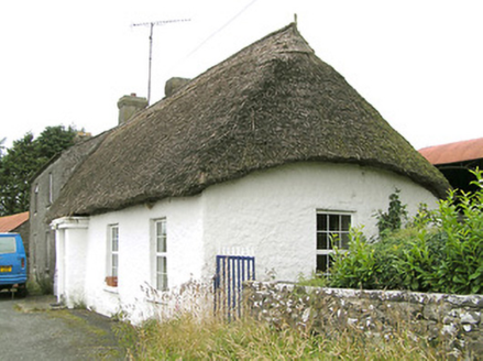 Moore's TownHouse · 1.5 mi
Explorer Tom Moore's Town in Bracklon, County Longford has a roof that is hipped on one end and pitched on the other, which is lazy…
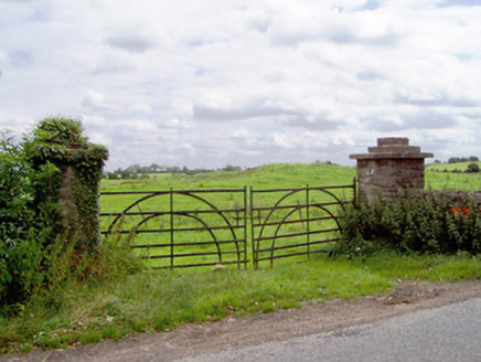 gates/railings/walls1.6 mi
Explorer Tom Gates in Moatfarrell are holding the line with some seriously sturdy ironwork, looking like they’ve seen better days…
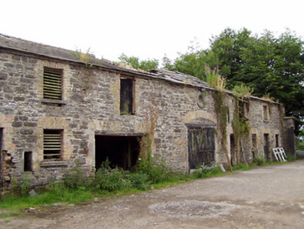 Moatfarrell HouseOutbuilding · 1.6 mi
Explorer Tom Moatfarrell House has very strong opinions on modern buildings, mostly that they’re all made of cardboard and bad…
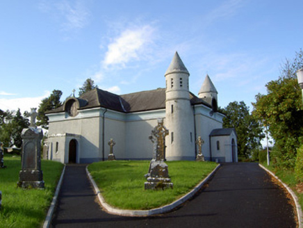 Saint James's Catholic ChurchChurch/chapel · 1.7 mi
Explorer Tom Saint James's Catholic Church in Drummeel has more names than a soap opera character and twice as many towers. It was…
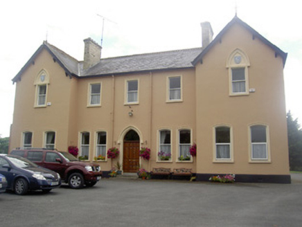 Saint Elizabeth's ConventConvent/nunnery · 2.0 mi
Explorer Tom Saint Elizabeth's Convent is said to be guarded by a giant who only appears if you drop your keys inside the grounds.…
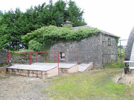 Coolamber ManorOutbuilding · 3.8 mi
Explorer Tom Coolamber Manor outbuilding in Cloonshannagh has a prophecy about it becoming a castle that never came true. It’s just…
 Moat of GranardCastle, motte and bailey · 5.5 mi
Explorer Tom The local sheep at Granard Moat rate it a solid four stars for grass quality. Richard de Tuit built it in 1199 to fight…
 Granard MotteMotte-and-bailey castle remains · 5.5 mi
Explorer Tom Granard Motte would describe the 1800s to a teenager as 'basically a long queue for nothing'. It's just a big mound…
 1798 MonumentMonument · 5.6 mi
Explorer Tom The 1798 Monument in Granard uses a Celtic high cross style to tell you about a battle that happened two hundred years…
More castles and forts in County Longford · All of County Longford

What do you know about this place?Tap to add a comment or ask a question