What is recorded here
On a slight knoll in otherwise level pasture. Depicted as an irregular tree-planted enclosure on the 1837 ed. of the OS 6-inch map. A report in 1975 (SMR file) indicates that this raised subcircular area ( 34.3m E-W; 33m N-S) was enclosed by a low bank of earth and stone, an intervening fosse and fragmentary remains of an outer bank and outer fosse. It is defined by a scarp (H 1-1.2m) at the base of which, from SE-S-SW, is a low berm that marks the line of an infilled fosse (Wth 3m; H 0.5-1m). The outer bank and fosse have been levelled. Quarrying has occurred in the SE quadrant of the interior and the original entrance is not recognisable. The rath is densely overgrown with scrub.
From the National Monuments Service (Archaeological Survey of Ireland) record LF010-060
Places near here
Photo credits
- National Inventory of Architectural Heritage
- Granard Motte.png : Smcq Derivative work: Hogweard, Wikimedia Commons · CC BY-SA 3.0
- 2ManyCats4Me, Wikimedia Commons · CC0
- Charles T. G. Clarke, Wikimedia Commons · CC BY-SA 4.0
- Gillaween, Wikimedia Commons · CC BY-SA 4.0
 IndicatedFairy fort / earthen ringfort · 1267 yd
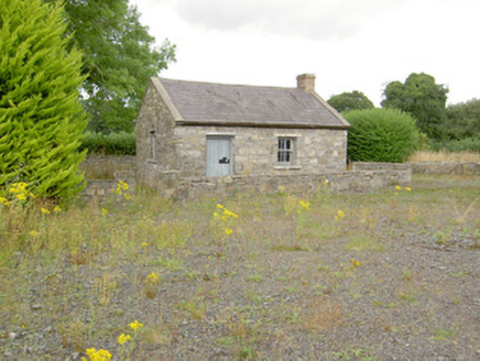 MacEoin's ForgeForge/smithy · 1393 yd
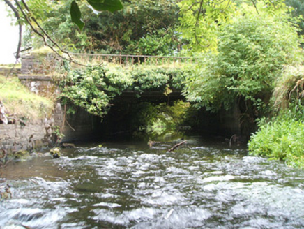 Kilshruley ManorBridge · 1608 ydBallinalee Forest WalkForest · 1.0 mi
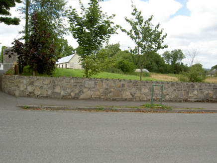 Bully's AcreGraveyard/cemetery, unknown · 1.4 miCloonfin WoodForest · 1.7 miClonfin Ambush MemorialMemorial · 1.9 mi
 Moat of GranardCastle, motte and bailey · 5.4 mi
 Granard MotteMotte-and-bailey castle remains · 5.4 mi
 1798 MonumentMonument · 5.5 mi
 Coolamber CastleHouse, fortified house · 7.4 mi
 Sheela-na-gig in AbbeylaraSheela-na-gig · 7.6 mi
More archaeology and monuments in County Longford · All of County Longford
What do you know about this place?Tap to add a comment or ask a question