What is recorded here
On a very low rise in undulating pasture. A raised subcircular area (27m E-W; 25.5m N-S) defined by a scarp (H 0.8-1.35m). At the base of the scarp from NNW-N is a fosse (Wth 2.5m; D 0.2-0.3m). From SW-W-NW it has been infilled but its outline is still identifiable. A modern roadway skirts the base of the scarp at SE. Also at SE a portion of the monument has been quarried away. The original entrance is not recognisable. O'Donovan
Date of upload: 23 November 2011
On a very low rise in undulating pasture. A raised subcircular area (27m E-W; 25.5m N-S) defined by a scarp (H 0.8-1.35m). At the base of the scarp from NNW-N is a fosse (Wth 2.5m; D 0.2-0.3m). From SW-W-NW it has been infilled but its outline is still identifiable. A modern roadway skirts the base of the scarp at SE. Also at SE a portion of the monument has been quarried away. The original entrance is not…
From the National Monuments Service (Archaeological Survey of Ireland) record LF010-109
The monument record does not grant public access. Check the route and ask the landowner before entering private land.
- What survives
- Recorded monument
Places near here
IndicatedEnclosure · 1213 yd Cloonfin HouseGate lodge · 1708 ydKilshruley ManorBridge · 1741 ydCloonfin WoodForest · 1.2 miClonfin Ambush MemorialMemorial · 1.2 miBallinalee Forest WalkForest · 1.7 miBully's AcreGraveyard/cemetery, unknown · 2.0 miMoat of GranardCastle, motte and bailey · 4.7 miGranard MotteMotte-and-bailey castle remains · 4.7 mi1798 MonumentMonument · 4.8 miCoolamber CastleHouse, fortified house · 6.8 miSheela-na-gig in AbbeylaraSheela-na-gig · 6.8 mi
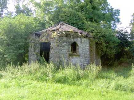 Cloonfin HouseGate lodge · 1708 yd
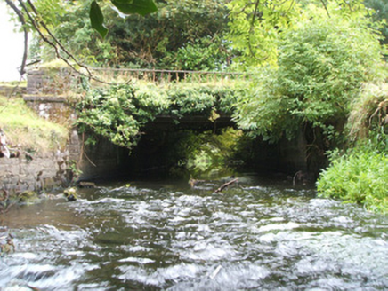 Kilshruley ManorBridge · 1741 ydCloonfin WoodForest · 1.2 miClonfin Ambush MemorialMemorial · 1.2 miBallinalee Forest WalkForest · 1.7 mi
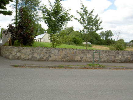 Bully's AcreGraveyard/cemetery, unknown · 2.0 mi
 Moat of GranardCastle, motte and bailey · 4.7 mi
 Granard MotteMotte-and-bailey castle remains · 4.7 mi
 1798 MonumentMonument · 4.8 mi
 Coolamber CastleHouse, fortified house · 6.8 mi
 Sheela-na-gig in AbbeylaraSheela-na-gig · 6.8 mi
Pictures: National Inventory of Architectural Heritage; Granard Motte.png : Smcq Derivative work: Hogweard, Wikimedia Commons · CC BY-SA 3.0; 2ManyCats4Me, Wikimedia Commons · CC0; Charles T. G. Clarke, Wikimedia Commons · CC BY-SA 4.0; Gillaween, Wikimedia Commons · CC BY-SA 4.0
More archaeology and monuments in County Longford · All of County Longford
What do you know about this place?