What is recorded here
On a low NW-SE rise in pasture. Not indicated on the 1837 or 1883 eds. of the OS -inch map. Described in 1978 (SMR file) as a roughly circular earthwork (diam. c. 60m) definedy by a wide, low bank of earth and stone with no trace of a fosse. There was an entrance gap at E. A NE-SW running field bank cut through the NW quadrant of the monument and the enclosing bank was very poorly preserved to the NW of it. The monument has since been levelled but is visible as a cropmark on an OSI aerial photograph (SMR file). O'Donovan
Date of upload: 5 December 2012
On a low NW-SE rise in pasture. Not indicated on the 1837 or 1883 eds. of the OS -inch map. Described in 1978 (SMR file) as a roughly circular earthwork (diam. c. 60m) definedy by a wide, low bank of earth and stone with no trace of a fosse. There was an entrance gap at E. A NE-SW running field bank cut through the NW quadrant of the monument and the enclosing bank was very poorly preserved to the NW of it. The…
From the National Monuments Service (Archaeological Survey of Ireland) record LF010-059
The monument record does not grant public access. Check the route and ask the landowner before entering private land.
- What survives
- Recorded monument
Places near here
Cloonfin WoodForest · 964 ydIndicatedFairy fort / earthen ringfort · 1213 yd Kilshruley ManorBridge · 1446 ydKilshruley ManorWeir · 1477 ydClonfin Ambush MemorialMemorial · 1.3 miBallinalee Forest WalkForest · 1.9 miBully's AcreGraveyard/cemetery, unknown · 2.1 miMoat of GranardCastle, motte and bailey · 4.4 miGranard MotteMotte-and-bailey castle remains · 4.4 mi1798 MonumentMonument · 4.4 miSheela-na-gig in AbbeylaraSheela-na-gig · 6.6 miCoolamber CastleHouse, fortified house · 7.0 mi
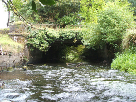 Kilshruley ManorBridge · 1446 yd
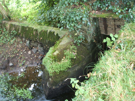 Kilshruley ManorWeir · 1477 ydClonfin Ambush MemorialMemorial · 1.3 miBallinalee Forest WalkForest · 1.9 mi
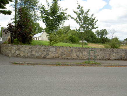 Bully's AcreGraveyard/cemetery, unknown · 2.1 mi
 Moat of GranardCastle, motte and bailey · 4.4 mi
 Granard MotteMotte-and-bailey castle remains · 4.4 mi
 1798 MonumentMonument · 4.4 mi
 Sheela-na-gig in AbbeylaraSheela-na-gig · 6.6 mi
 Coolamber CastleHouse, fortified house · 7.0 mi
Pictures: National Inventory of Architectural Heritage; Granard Motte.png : Smcq Derivative work: Hogweard, Wikimedia Commons · CC BY-SA 3.0; 2ManyCats4Me, Wikimedia Commons · CC0; Gillaween, Wikimedia Commons · CC BY-SA 4.0; Charles T. G. Clarke, Wikimedia Commons · CC BY-SA 4.0
More archaeology and monuments in County Longford · All of County Longford
What do you know about this place?