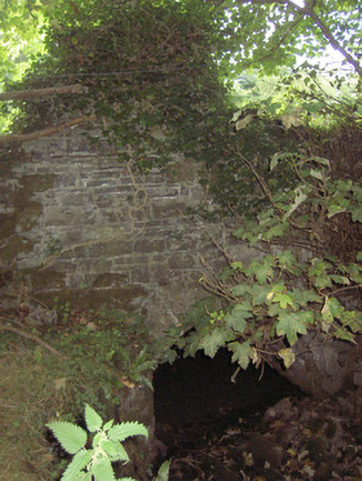
What is recorded here
Single-arched road bridge over tributary of the Camlin River/former millrace, built c. 1800. Round-headed arch with dressed limestone voussoirs. Squared rubble stone construction to spandrel walls, abutments and barrel. Located to the west of…
Read the whole record
From the Buildings of Ireland (National Inventory of Architectural Heritage) record 13401013
Places near here
Picture notes
- National Inventory of Architectural Heritage
- Computer-made picture. It does not show this monument.
- Computer-made picture. It does not show this mountain top.
- Granard Motte.png : Smcq Derivative work: Hogweard, Wikimedia Commons · CC BY-SA 3.0
- 2ManyCats4Me, Wikimedia Commons · CC0
- Computer-made picture. It does not show this playground.
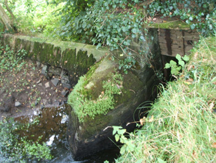 Kilshruley ManorWeir · 301 yd
Explorer Tom Kilshruley Manor in Kilshruley is a weir pretending to be a manor. It ran water for a sawmill that’s long gone, so now it just stares blankly at the river like it’s buffering on a reality show. Stop the car, it's wo.
 Memorial stone (present location) in KilshruleyMemorial stone (present location) · 432 ydComputer-made picture
 Fairy fort / earthen ringfort in BallyreaghanFairy fort / earthen ringfort · 491 ydComputer-made picture
Explorer Tom Fairy fort / earthen ringfort in Ballyreaghan was where a fiddler played all night without stopping. He never stopped until the sun came up and he realized he’d been dead. Hum something sad nearby, it adds atmosphere.
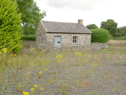 MacEoin's ForgeForge/smithy · 605 yd
 Fairy fort / earthen ringfort in Kilshruley,knockmoodyFairy fort / earthen ringfort · 609 ydComputer-made picture
 Fairy fort / earthen ringfort in Leitrim (granard By., Ballinalee Ed)Fairy fort / earthen ringfort · 634 ydComputer-made picture
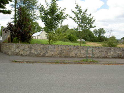 Bully's AcreGraveyard/cemetery, unknown · 1.2 mi
 Corn HillMountain / peak · 4.0 miComputer-made picture
 Moat of GranardCastle, motte and bailey · 5.3 mi
Explorer Tom The local sheep at Granard Moat rate it a solid four stars for grass quality. Richard de Tuit built it in 1199 to fight rebels, but now it’s mostly a nap zone. Stand back, squint, and it looks like a castle.
 Granard MotteMotte-and-bailey castle remains · 5.3 mi
Explorer Tom Granard Motte would describe the 1800s to a teenager as 'basically a long queue for nothing'. It's just a big mound pretending it remembers something important from the castle days. Spot the oldest stone and give it a name.
 1798 MonumentMonument · 5.4 mi
 Children's playground5.8 miComputer-made picture
More historic places in County Longford · All of County Longford

What do you know about this place?Tap to add a comment or ask a question