
What is recorded here
From the National Monuments Service (Archaeological Survey of Ireland) record LF010-062004
Places near here
Photo credits
- Maker not stated on source page, commons.wikimedia.org
- National Inventory of Architectural Heritage
- Maker not stated on source page, www.theirishroadtrip.com
- Maker not stated on source page, www.tripadvisor.com
- Maker not stated on source page, www.neverstoptraveling.com
- Maker not stated on source page, www.ebay.co.uk
- Kmcnamee, Wikimedia Commons · CC BY-SA 4.0
 Fairy fort / earthen ringfort in Ballynascraw,prucklishtownFairy fort / earthen ringfort · 1096 yd
Explorer Tom Fairy fort / earthen ringfort in Ballynascraw, Prucklishtown is cursed by anyone who doesn't wave first. It’s a strict…
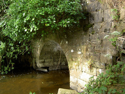 Cloonfin HouseBridge · 1196 yd
Explorer Tom Cloonfin House in Cloonfin is just a bridge pretending to be an estate, which is my kind of impostor syndrome. The…
 Fairy fort / earthen ringfort in RoosFairy fort / earthen ringfort · 1736 yd
Explorer Tom Fairy fort / earthen ringfort in Roos is filing a complaint with the council about being levelled. It says its…
 Memorial stone (present location) in KilshruleyMemorial stone (present location) · 1.1 mi
Explorer Tom Memorial stone in Kilshruley has a very strong opinion of the road that leads to it, thinking it’s too slow for a…
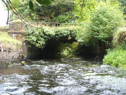 Kilshruley ManorBridge · 1.1 mi
Explorer Tom Kilshruley Manor is a bridge that locals swear by because stepping on it twice brings bad luck to your shoes. It…
 Mapped graveyardGraveyard · 1.3 mi
Explorer Tom Mapped graveyard in County Longford has been hiding a scandal about a monk who stole a chalice for centuries. It’s…
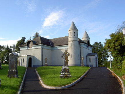 Saint James's Catholic ChurchChurch/chapel · 1.3 mi
Explorer Tom Saint James's Catholic Church in Drummeel has more names than a soap opera character and twice as many towers. It was…
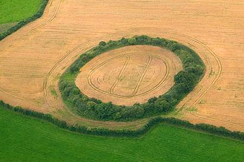 Fairy fort / earthen ringfort in DrummeelFairy fort / earthen ringfort · 1.3 mi
Explorer Tom Drummeel’s D-shaped fort has a straight side that makes it look like a slice of cheese left out too long. There’s a…
 bridge1.3 mi
Explorer Tom Bridge in Kilshruley spans a stream that has stopped making noise. The seagulls say it’s actually a giant stone tongue…
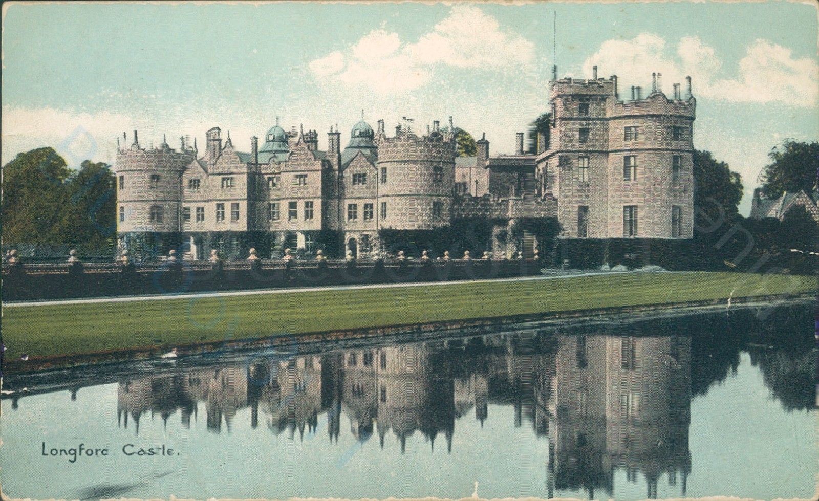 CastleCastle, unclassified · 1.4 mi
Explorer Tom Kilshruley Castle holds a fake world record for the longest stare down with a riverbank. Captain Andrew Adair repaired…
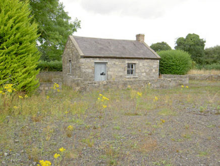 MacEoin's ForgeForge/smithy · 1.4 mi
Explorer Tom MacEoin's Forge is still hot under the collar because cars replaced the horses and nobody thanked the blacksmith for…
 Maguire Park, Sean Connolly'sGAA ground · 1.9 mi
More archaeology and monuments in County Longford · All of County Longford

What do you know about this place?Tap to add a comment or ask a question