
What is recorded here
From the National Monuments Service (Archaeological Survey of Ireland) record KD035-030001
Places near here
Photo credits
- Maker not stated on source page, ru.pinterest.com
- National Inventory of Architectural Heritage
- Maker not stated on source page, www.flickr.com
- Maker not stated on source page, en.wikipedia.org
- Maker not stated on source page, www.irishexaminer.com
- Maker not stated on source page, commons.wikimedia.org
- Enna, Wikimedia Commons · Public domain
- Maker not stated on source page, www.pinterest.com
- Alex Passmore, Wikimedia Commons · CC BY-SA 2.0
- Malene Thyssen, Wikimedia Commons · CC BY-SA 3.0
- Hello, I am Bruce on Flickr, Wikimedia Commons · CC BY-SA 2.0
 Mapped graveyardGraveyard · 5 yd
Explorer Tom This mapped graveyard in Kildare nearly got famous when a TV crew lost track of time and forgot to film it entirely.…
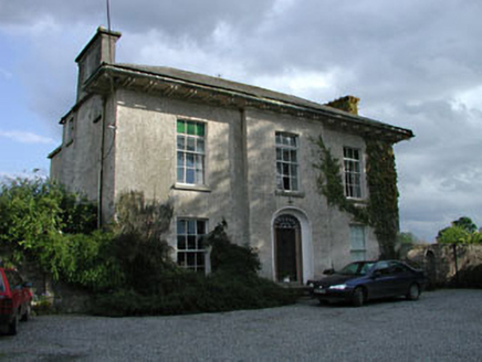 Burtown HouseFarm house · 270 yd
Explorer Tom Burtown House is modest from the front but absolutely massive around the back, like a cat hiding a big tail. A fiddler…
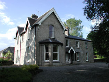 BurtownFarm house · 696 yd
Explorer Tom Two families once fought over who owned the view of this church in Piercetown. The feud ended when they both realised…
 CastleCastle, unclassified · 741 yd
Explorer Tom This castle in Burtown Little was named 'Brittan' by the Vikings, who clearly got hopelessly lost looking for it. It’s…
 Cist in MullamastCist · 1359 yd
Explorer Tom Cist in Mullamast would survive a zombie attack by simply staying still until you think it’s a rock, because it’s…
 Fairy fort / earthen ringfort in Burtown BigFairy fort / earthen ringfort · 1603 yd
Explorer Tom Fairy fort / earthen ringfort in Burtown Big is in a feud with the next village over who has the ugliest fence. It’s…
 Fairy fort / earthen ringfort in Nicholastown (grangemellon Ed)Fairy fort / earthen ringfort · 1.4 mi
Explorer Tom Fairy fort / earthen ringfort in Nicholastown has a secret tunnel running straight to the local pub, but John Butler…
 Inch CastleCastle, tower house · 1.6 mi
Explorer Tom Inch Castle in County Kildare started because two lads bet they could build it before lunch. The De Vesci family lost…
 Ardscull GraveyardGraveyard · 1.7 mi
Explorer Tom Ardscull Graveyard would be a disaster on a reality show because nobody knows how to behave around the headstones.…
 History of Moat of ArdscullVisitor information · 2.6 mi
Explorer Tom History of Moat of Ardscull is where a giant allegedly tripped over his own cape while trying to impress the local…
 European Beech2.6 mi
Explorer Tom This beech claims it’s older than the concept of Tuesday, which I honestly believe is possible given its smug…
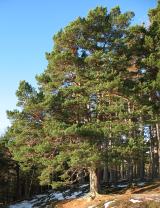 Scots Pine2.9 mi
Explorer Tom Scots Pine here is having a go at being famous because some other pine got the credit years ago. It’s basically the…
More archaeology and monuments in County Kildare · All of County Kildare

What do you know about this place?Tap to add a comment or ask a question