
What is recorded here
From the National Monuments Service (Archaeological Survey of Ireland) record KD036-012001
Places near here
Photo credits
- Maker not stated on source page, www.flickr.com
- Mega Phil, Wikimedia Commons · CC BY-SA 4.0
- Maker not stated on source page, it.pinterest.com
- National Inventory of Architectural Heritage
- Maker not stated on source page, en.topwar.ru
- Maker not stated on source page, ru.pinterest.com
- Maker not stated on source page, www.pinterest.com
- Sciadopitys from UK, Wikimedia Commons · CC BY-SA 2.0
 CastleCastle, unclassified · 795 yd
Explorer Tom This castle in Burtown Little was named 'Brittan' by the Vikings, who clearly got hopelessly lost looking for it. It’s…
 Standing stone (present location) in MullamastStanding stone (present location) · 867 yd
Explorer Tom Standing stone in Mullamast got moved ten metres east because apparently it needed fresh air. It’s just a tapering…
 The Long StoneStanding stone · 877 yd
Explorer Tom The Long Stone in Mullamast is playing hide-and-seek with me, having moved ten meters west to dodge the neighbors. If…
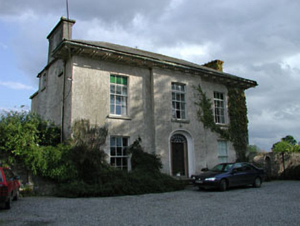 Burtown HouseFarm house · 1125 yd
Explorer Tom Burtown House is modest from the front but absolutely massive around the back, like a cat hiding a big tail. A fiddler…
 Enclosure in MullamastEnclosure · 1180 yd
Explorer Tom Enclosure in Mullamast is a fifty-five-metre square cropmark that ended up in the wrong place because the mapmaker was…
 Mapped graveyardGraveyard · 1364 yd
Explorer Tom This mapped graveyard in Kildare nearly got famous when a TV crew lost track of time and forgot to film it entirely.…
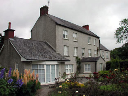 Mullamast HouseFarm house · 1548 yd
Explorer Tom Mullamast House is hiding a three-storey scandal that involves some very confused brickwork and a long history of farm…
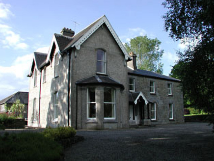 BurtownFarm house · 1.1 mi
Explorer Tom Two families once fought over who owned the view of this church in Piercetown. The feud ended when they both realised…
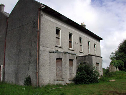 Ballitore HouseHouse · 1.8 mi
Explorer Tom Ballitore House claims it’s older than the concept of fire, which is a bold lie but I’d back it up. It’s been rebuilt…
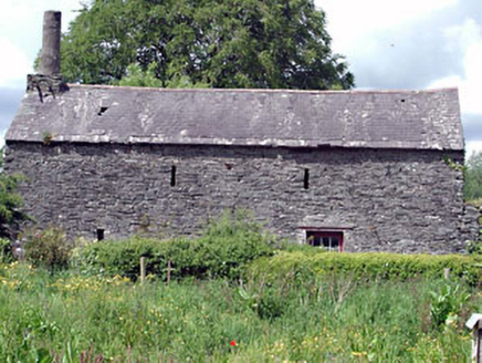 forge/smithy1.8 mi
Explorer Tom Forge or smithy in Ballitore was actually run by a matchmaker who welded hearts together with iron. She knew everyone’s…
 Ardscull GraveyardGraveyard · 2.0 mi
Explorer Tom Ardscull Graveyard would be a disaster on a reality show because nobody knows how to behave around the headstones.…
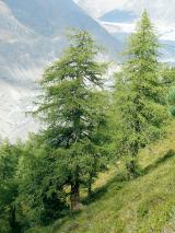 European Larch2.5 mi
Explorer Tom European Larch has an escape plan involving turning completely bare and pretending it’s a shrub in winter. Its first…
More archaeology and monuments in County Kildare · All of County Kildare

What do you know about this place?Tap to add a comment or ask a question