
Places near here
Photo credits
- National Inventory of Architectural Heritage
- Hywel Williams, Geograph · CC BY-SA 2.0
- Jonathan Thacker, Geograph · Creative Commons Attribution-ShareAlike 2.0
- Jonathan Billinger, Geograph · Creative Commons Attribution-ShareAlike 2.0
- JarlVanHoother, Wikimedia Commons · CC BY-SA 4.0
- Erin’s Own Cork club update by Mary Bowen; individual photographer not stated, erinsowngaa.ie
 Aghnahan BridgeBridge · 1502 yd
Explorer Tom Aghnahan Bridge in Leamlara is probably posting selfies of its stonework to show off how skilled the craftsmanship is.…
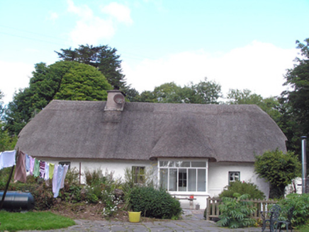 Cul an TiHouse · 1.1 mi
Explorer Tom Cul an Ti in Lisgoold East is facing south instead of the road because it’s shy or just really into the sun. It…
 Sing Sing PrisonMonument · 3.9 mi
Explorer Tom Sing Sing Prison in County Cork isn't the one in New York, phew, or I'd be shaking. This one held British soldiers and…
 Ballingohig BridgeBridge · 4.1 mi
Explorer Tom Ballingohig Bridge is run by a dog who hasn't been trained yet but thinks he's in charge. It has fine stonework that…
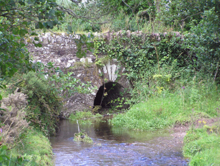 Trantstown BridgeBridge · 5.0 mi
Explorer Tom Trantstown Bridge is showing off its arch technology next to a modern metal one, like an uncle arguing with his nephew.…
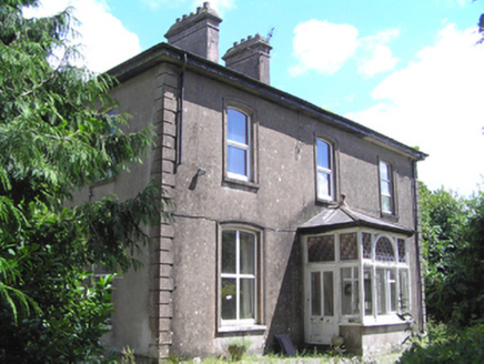 presbytery/parochial/curate's house5.1 mi
Explorer Tom Presbytery in Mitchellsfort has a front porch with high craftsmanship and segmental window openings that look very…
 Watergrasshill Church of Ireland ChurchChurch/chapel · 5.2 mi
Explorer Tom Watergrasshill Church of Ireland Church is now an arts centre because it had strong opinions about modern buildings. It…
 Church of the Immaculate ConceptionChurch/chapel · 5.2 mi
Explorer Tom Church of the Immaculate Conception in Tinageragh is using terracotta surrounds on its clerestory windows, which is a…
 RockgroveCountry house · 5.6 mi
Explorer Tom Rockgrove in Ballyhennick is showing off its Palladian flexes with those subtle bowed bays, a classic Cork move. Legend…
 station master's house5.8 mi
Explorer Tom The station master's house in Ballyhennick thinks the local sheep are just very slow commuters who haven't figured out…
 Little Island Railway StationRailway station · 5.8 mi
Explorer Tom Little Island Railway Station would win a county fair for best in show because of its red brick and limestone quoins.…
 Erin's Own GAA pitchGAA ground · 5.9 mi
More archaeology and monuments in County Cork · All of County Cork

What do you know about this place?Tap to add a comment or ask a question