
Places near here
Photo credits
- Maker not stated on source page, www.dreamstime.com
- National Inventory of Architectural Heritage
- Maker not stated on source page, commons.wikimedia.org
- Maker not stated on source page, uk.pinterest.com
- Maker not stated on source page, it.pinterest.com
- Maker not stated on source page, www.roadaffair.com
- Echo Live; individual photographer not stated on accessible page (article by Barry O’Mahony), www.echolive.ie
 Stone CircleStone circle, five-stone · 414 yd
Explorer Tom Stone Circle in Lissacresig is a five-stone chat group where everyone has something to say, but nobody actually listens…
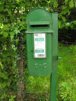 post box1249 yd
Explorer Tom Post box in Lackaneen is still doing its job from 1930, wearing raised Gaelic script like a very proud hat. It’s a…
 Bealahacreagh BridgeBridge · 1356 yd
Explorer Tom Bealahacreagh Bridge is a six-span stone giant from 1820 spanning the River Finnow. It’s got rubble walls and dressed…
 Standing stone in KillaclugStanding stone · 1574 yd
Explorer Tom Standing stone in Killaclug stands parallel to the bank of a cashel. It's a square slab, about a metre high, right…
 farm house1669 yd
Explorer Tom Farm house in Coolavokig is all about sheltering from the elements, which is basically its entire personality. It’s…
 Fairy fort / stone ringfort in Gortnalicky (muskerry West By.)Fairy fort / stone ringfort · 1.2 mi
Explorer Tom Fairy fort / stone ringfort in Gortnalicky would tell you after a few pints that the stones are actually giant sleeping…
 Scoil Náisiúnta Cúil an Bhuacaigh [Coolavokig O'Donovan National School]School · 1.2 mi
Explorer Tom Scoil Náisiúnta Cúil an Bhuacaigh is a 1901 school that’s currently vacant and looking a bit lonely. It’s got a central…
 Fairy fort / earthen ringfort in Cúil An BhuacaighFairy fort / earthen ringfort · 1.3 mi
Explorer Tom Fairy fort / earthen ringfort in Cúil An Bhuacaigh is a solid circular area with a 6m entrance to the NE. The bank is…
Fairy fort / earthen ringfort in Kilgobnet (muskerry West By.)Fairy fort / earthen ringfort · 1.3 miExplorer Tom Fairy fort / earthen ringfort in Kilgobnet was levelled with no visible surface trace now. It showed up on maps from…
 DolmenAnomalous stone group · 1.7 mi
Explorer Tom Dolmen in Cúil An Bhuacaigh is four small stones set in a rectangle, which is basically a stone box with no lid.…
 Fairy fort / earthen ringfort in Drom An GharraíFairy fort / earthen ringfort · 1.7 mi
Explorer Tom Fairy fort / earthen ringfort in Drom An Gharraí is basically a ploughed-out circle with a bank that only survives on…
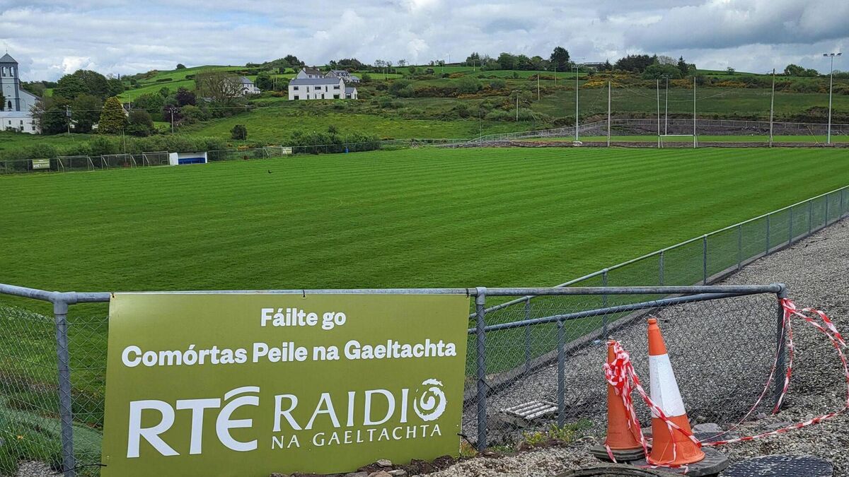 Páirc Uí Chuana, Cill na MartraGAA ground · 2.1 mi
More archaeology and monuments in County Cork · All of County Cork

What do you know about this place?Tap to add a comment or ask a question