What is recorded here
That is a cashel, a ringfort where human hands shaped the land long before fairy tales dressed it in wonder. The stone wall still stands collapsed on a south-west slope in County Cork, enclosing a level patch of earth where cultivation ridges once cut through the grass. People likely lived there, tended that soil, and left behind a circle sturdy enough to survive the forgetting.
In pasture, on SSW-facing slope. Roughly circular area (26m N-S; 22m E-W) enclosed by collapsed stone wall (int. H 1.2m; ext. H 0.8m) atop low wide bank of dumped stones. Interior level; raised on SSW side to compensate for hillslope. Disused cultivation ridges cross interior on N-S axis.
The above description is derived from the published 'Archaeological Inventory of County Cork. Volume 3: Mid Cork' (Dublin: Stationery Office, 1997). In certain instances the entries have been revised and updated in the light of recent research.
Date of upload/revision: 14 January 2009
The monument record does not grant public access. Check the route and ask the landowner before entering private land.
- What survives
- Recorded monument
Places near here
 Man-made underground passageMan-made underground passage · 629 yd
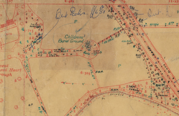 Childrens Burial Ground (Disused)Burial ground · 661 yd
 Bealahacreagh Bridgebridge · 736 yd
 sign postsign post · 1394 yd
 Carrigaphooca CastleCastle · 2.2 mi
 Curraheen WoodWood · 2.8 mi
 Neill's WoodWood · 2.9 mi
 Cnoc na nUlán (mullach thoir)Mountain / peak · 3.3 mi
 Dundareirke Castle (in Ruins)Castle, tower house · 3.3 mi
 Clonavrick CliffCliff · 4.0 mi
 KnockullaneMountain / peak · 4.1 mi
 Macroom WalksVisitor information · 4.1 mi