
What is recorded here
In SE quadrant of cashel (8799). Shallow depression may indicate position.
The above description is derived from the published 'Archaeological Inventory of County Cork. Volume 3: Mid Cork' (Dublin: Stationery Office, 1997). In certain instances the entries have been revised and updated in the light of recent research.
Date of upload/revision: 14 January 2009
The monument record does not grant public access. Check the route and ask the landowner before entering private land.
- What survives
- Recorded monument
Places near here
 Fulacht FiadhFulacht fia · 667 yd
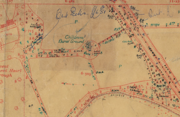 Childrens Burial Ground (Disused)Burial ground · 742 yd
 Bealahacreagh Bridgebridge · 1364 yd
 sign postsign post · 1382 yd
 Carrigaphooca CastleCastle · 2.4 mi
 Neill's WoodWood · 2.7 mi
 Curraheen WoodWood · 3.0 mi
 Cnoc na nUlán (mullach thoir)Mountain / peak · 3.4 mi
 Dundareirke Castle (in Ruins)Castle, tower house · 3.5 mi
 Clonavrick CliffCliff · 3.7 mi
 Macroom WalksVisitor information · 4.0 mi
 KnockullaneMountain / peak · 4.2 mi
Other information
Photo: Credit not shown in the picture search · Rights wording not checked; contact us if this picture should be removed