What is recorded here
In tillage. Cropmarks of a field system identified on an aerial photograph (GB89.Q.29, 13 July 1989). It consists of two parallel field boundaries c. 35m apart, running E-W and another boundary running N-S, possibly from the northernmost E-W boundary. This boundary, as it runs northward appears to start to curve gently westward. Two enclosures (KK019-118---- and KK019-141----), also identified as cropmarks, lie immediately N and NE respectively of the visible field system cropmarks, though this is not necessarily an indication of contemporaneity.
Compiled by: Dr. Gillian Barrett for the Archaeological Survey of Ireland and Jean Farrelly
Date of revised upload: 21 October 2020
The monument record does not grant public access. Check the route and ask the landowner before entering private land.
- What survives
- Recorded monument
Places near here
 Enclosure in WarringtonEnclosure · 119 yd
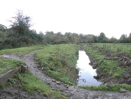 canal (section of)canal (section of) · 1030 yd
 Inch Saw Millsmill (water) · 1184 yd
 Enclosure in OutrathEnclosure · 1204 yd
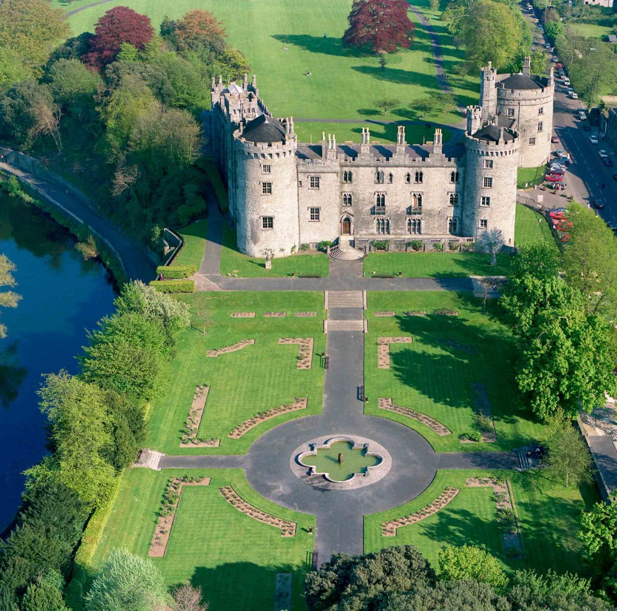 Site of Lavistown CastleCastle, unclassified · 1.0 mi
 Ivan PowerMemorial · 1.2 mi
 Michael CarthyMemorial · 1.2 mi
 CastleCastle, unclassified · 1.3 mi
 WelcomeVisitor information · 1.9 mi
 HedgerowVisitor information · 1.9 mi
 Dunbell Big RingfortWood · 2.2 mi
 Smithwick's Brewery ExperienceHeritage attraction · 2.3 mi